Geology
November 30, 2023
2024 Colorado Geology Calendar
Following up on last year’s popular geological photo tour around the state, we’re proud to share this next collection from…
About a third of CGS geoscience publications address issues on a statewide basis.

Geology
November 30, 2023
Following up on last year’s popular geological photo tour around the state, we’re proud to share this next collection from…
Minerals
April 13, 2023
The current annual Colorado Mineral and Energy Industry Activities report for 2021-22 is now available. Following up on…
Water
February 7, 2023
“Water is the lifeblood of our state, and we are taking strong actions to protect Colorado’s water for generations to…
Geology
December 16, 2022
We’ve been wanting to put together a calendar for some time now, and 2023 seems to be the right…
Water
November 11, 2022
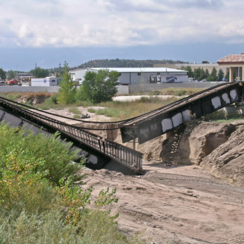
“The Fluvial Hazard Zone (FHZ) is defined as the area a stream has occupied in recent history, may occupy, or…
Geology
September 7, 2022
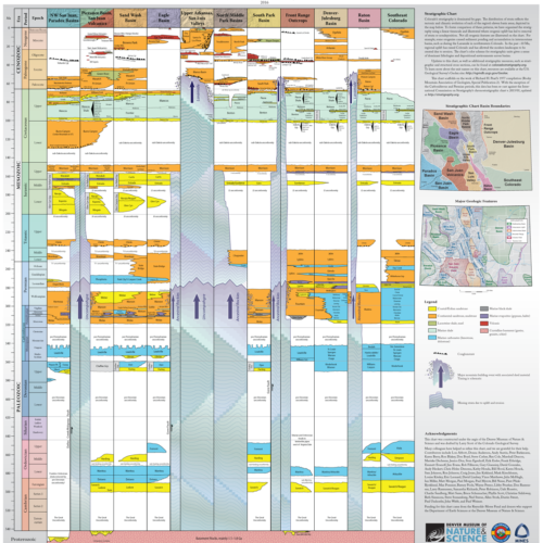
A collaboration between the CGS and the Denver Museum of Nature & Science (DMNS) has…
Geology
August 16, 2022
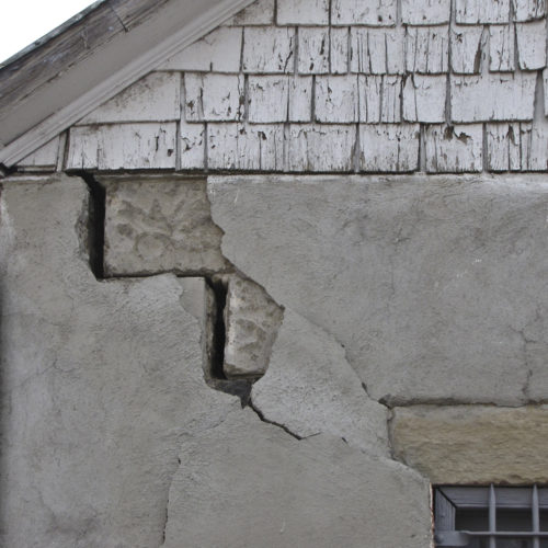
The origins of The Great ShakeOut project lie, unsurprisingly, in Southern California, one of the more…
Hazards
July 21, 2022
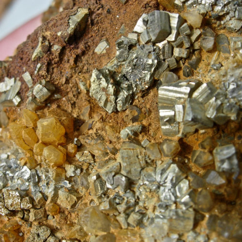
Are pristine mountain waters always clean and pure? Can streams unaffected by human activities and livestock influences be unfit…
Geology
April 8, 2022
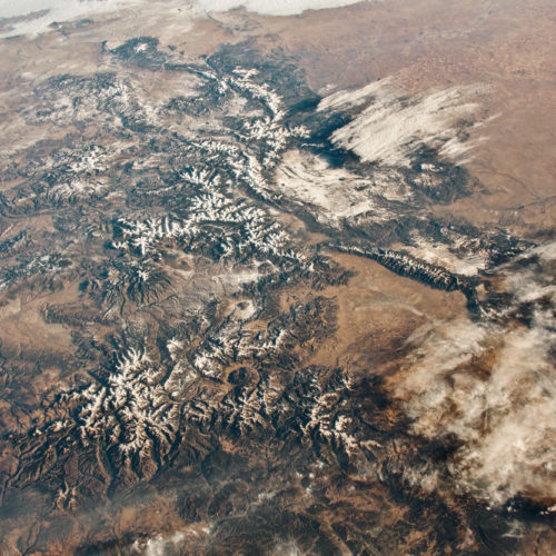
One of our favorite online feeds is from the NASA Earth Observatory along with their…
Hazards
March 25, 2022
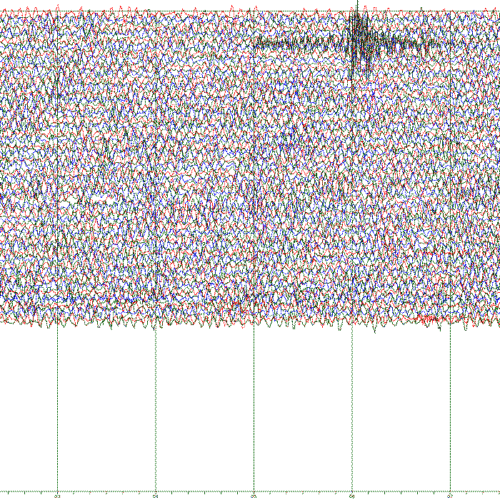
Early History The Colorado School of Mines first acquired and installed a single three-component seismograph in the…
Minerals
February 3, 2022
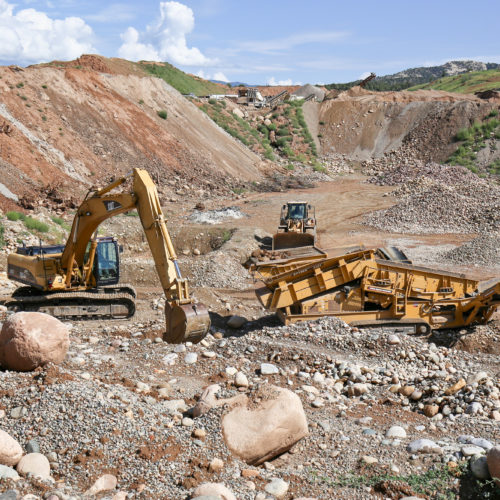
Every year, the CGS Minerals section prepares a comprehensive survey of the mineral and energy industries across the state. The…
Geology
November 24, 2020
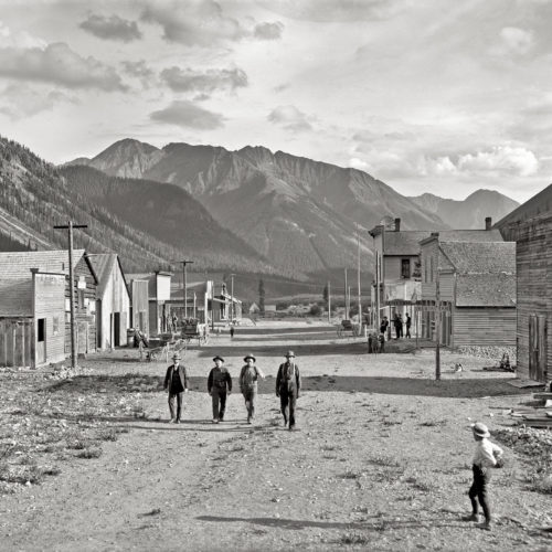
As the reconstruction of our website continues, we recently redeployed a popular package of information that was compiled and made…
Publications
February 17, 2017
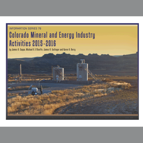
The current annual Colorado Mineral and Energy Industry Activities report 2015-16 is now available. Following up on the…