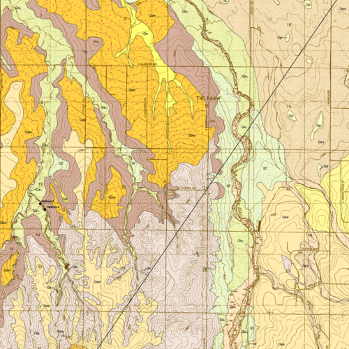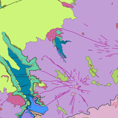
OF-22-16D Digital Compilation of Surficial and Bedrock Geology of the Montrose 30x60 Minute Quadrangle General, Geology, Publications March 30, 2023 New Colorado 30×60 minute quadrangle datasets Underwritten with special supplemental funding though the US Geological Survey (USGS) STATEMAP Program, we digitized, re-compiled, and quality-controlled several previously-published 30×60-minute geologic map quadrangles as GIS data packages. In addition to the information the original 1:100,000-scale maps, data from more recent 1:24,000-scale (7.5 minute) CGS quadrangle mapping was merged…
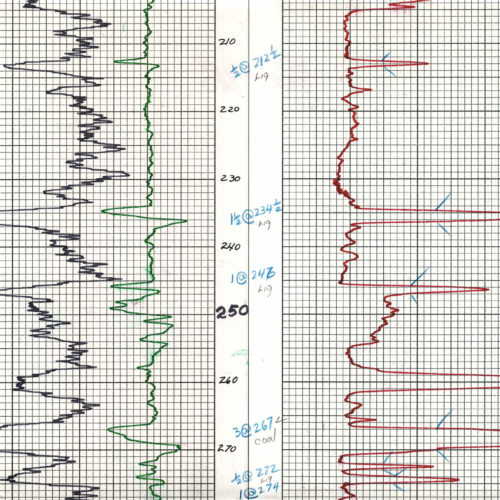
Detail from one of over 600 Denver Basin geophysical and lithological logs included in the ON-OF-78-08M digitization project. Photo credit: Colorado Geological Survey. Geology, Minerals, Publications June 3, 2021 New GIS data and maps For those of you who are subscribers to the CGS announcement list, we want to direct your attention to a handful of new maps and recently digitized analog data sets that we haven’t otherwise publicized. These include several important online GIS maps and downloadable data packages:…
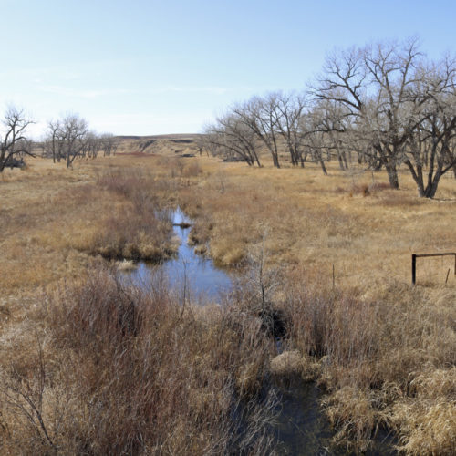
The Arikaree River at Beecher Island in Yuma County Publications, Water June 7, 2020 New Colorado Groundwater Atlas released ON-010 Colorado Groundwater Atlas
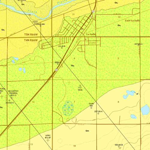
OF-19-03 Geologic Map of the La Salle Quadrangle Geology, Publications April 24, 2020 OF-19-03 Geologic Map of the La Salle Quadrangle, Weld County, Colorado As we continue to expand geological mapping coverage of Colorado, we recently uploaded another of our STATEMAP 7.5-minute, 1:24,000 quadrangle mapping products to our online store: OF-19-03 Geologic Map of the La Salle Quadrangle, Weld County, Colorado. Our…
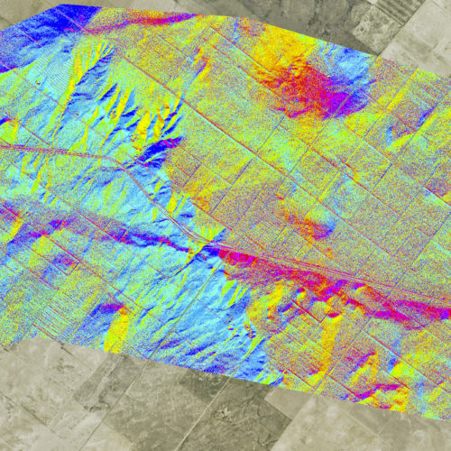
MI-97 LiDAR-Based Map of the Cheraw Fault Scarp. Graphic credit: Colorado Geological Survey Hazards September 12, 2017 AEG Annual Meeting Members of our geoscience staff are busy this week participating in the Annual Meeting of the Association of Environmental & Engineering Geologists taking place in Colorado Springs this year. CGS Director and State Geologist, Karen Berry, PG, is the Technical Session Moderator, the organizer of…
OF-16-02 Geologic Map of the Watkins Quadrangle Geology, Publications June 27, 2017 OF-16-02 Geologic Map of the Watkins Quadrangle, Arapahoe and Adams Counties, Colorado We’ve just uploaded the next of our free STATEMAP quadrangle map products to our online store: the Geologic Map of the Watkins Quadrangle, Arapahoe and Adams Counties, Colorado. The STATEMAP series in…