ON-001 Colorado Earthquake and Fault Map|Great Colorado ShakeOut contest illustration. General, Hazards September 23, 2022 The Great Colorado ShakeOut 2022 It’s coming up in less than four weeks! The Great Colorado ShakeOut is a public earthquake drill that takes place every year on the third Thursday of October across the state, the country, and the world. This year the official collective drill takes place Thursday, October 20th, 2022, at 10:20…
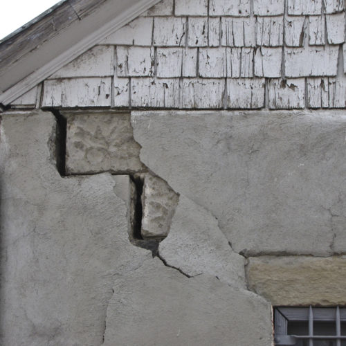
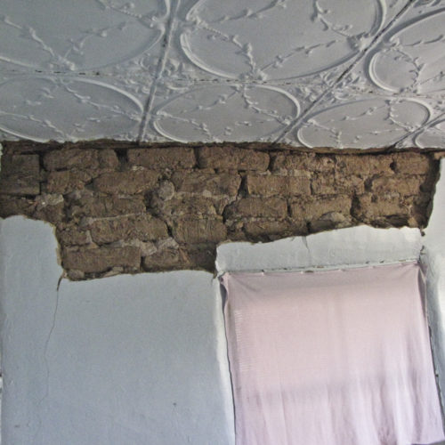
Earthquake damage: significant cracking and displacement in adobe wall of garage Geology, Hazards August 16, 2022 The Great ShakeOut The origins of The Great ShakeOut project lie, unsurprisingly, in Southern California, one of the more seismically active regions of the country. In 2008 a group of experts collaboratively modeled what might happen when a major earthquake hits the Southern California region. The detailed report, titled…
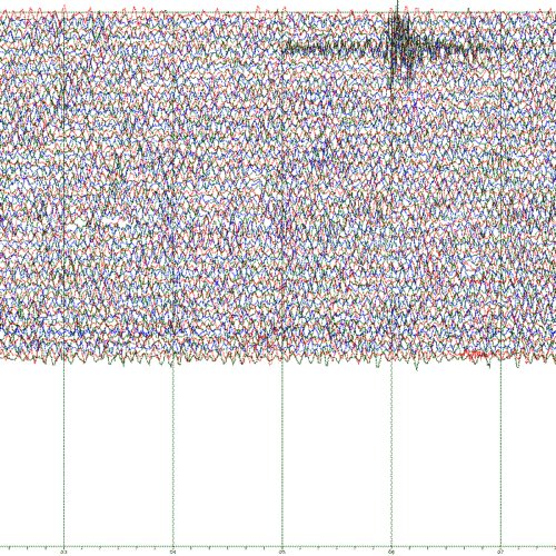
Helicorder trace from Trinidad seismometer station Geology, Hazards March 25, 2022 CGS Seismic Stations Early History The Colorado School of Mines first acquired and installed a single three-component seismograph in the Cecil H. Green Observatory at Bergen Park, about 9 mi (14 km) southwest of Golden. That system was in continuous high-gain operation into the 1980s and was, during that…
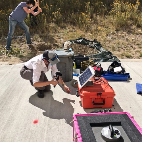
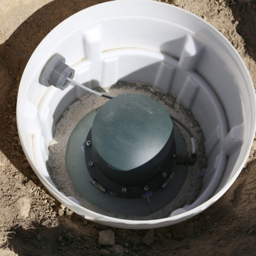
While Glendon Rewerts begins the excavation that will host the site Hazards October 14, 2020 Seismometer installed on campus Mines students partner with the CGS to install seismometer on campus Colorado School of Mines geophysics students enrolled in Assistant Professor Ebru Bozdag’s Earthquake Seismology class have a literal ear to the ground for the next few weeks. With help from two CGS employees, Kyren…
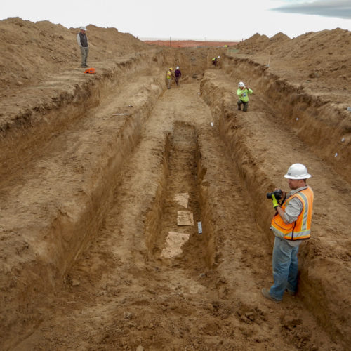
The end result of the current trenching on the Cheraw fault Geology, Hazards March 20, 2020 Trenching the Cheraw Fault in Southeastern Colorado One of the missions of the CGS is to better understand the various geological risks that face the residents of the state. While not seen as a seismically active region by most people, Colorado does have its share of geologic faults and historical earthquake activity. The state has over 90…
The Great Colorado ShakeOut - Drop-Cover-Hold On! Hazards July 9, 2017 What to do before, during, and after an earthquake Earthquakes strike suddenly, violently, and without warning. While Colorado is not as seismically active as some places, it does have a history of earthquake activity. Identifying potential hazards ahead of time and advance planning can reduce the dangers of serious injury or loss of life from an earthquake. Repairing deep…
Trimble Ref-Tek 151-30 Broadband Seismometer in subsurface housing Hazards September 3, 2016 CGS seismometer array The CGS recently installed the first of five new seismic recording stations that will collect information on seismic events around the state and the region. The CGS seismic network acts in conjunction with those maintained by the University of Colorado and Colorado State University, the Incorporated Research Institutions for…
Earthquake damage: to interior adobe walls of residence Geology, Hazards August 23, 2011 Case Study: The Trinidad, Colorado Earthquakes [ED: Originally published in 2011 by Vincent Matthews, former State Geologist at the CGS.] Around midnight on August 22, 2011, Colorado experienced its largest earthquake in half a century. The earthquake was quickly relegated to obscurity by the 5.8 earthquake that occurred about 12 hours…
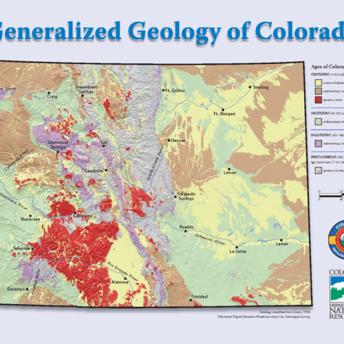
Free 8.5- x 11-inch map of Colorado geology (front) along with Geo-Whizology (back). General, Geology, Publications February 28, 2008 The biggest, the best, the first, and the most diverse… We have a free 8.5- x 11-inch (pdf) geologic map of Colorado containing Geo-Whizology of Colorado on the reverse side. Of course, we’re a bit biased, but we think Colorado has magnificent geology and it is beautifully displayed for all to see. The state holds many…
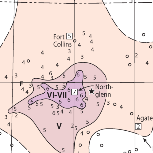
Isoseismal map for the earthquake north-east of Denver - 9 August 1967 - MMI VII. (detail) Geology, Hazards August 9, 1967 Case Study: Denver – August 9, 1967 Major magnitude 5.3 earthquake shock in Denver One of the strongest and most economically damaging earthquakes to affect the Denver area in the 1960s occurred on August 9, 1967 around 6:30 AM, awakening and frightening thousands of people. This magnitude 5.3 earthquake, centered near Commerce…
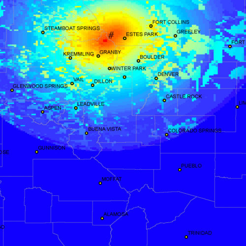
HAZUS simulation: 1882 Earthquake Geology, Hazards November 8, 1882 Case Study: The Big One It has been 140 years since “The Big One”: Colorado’s largest historic earthquake: November 7, 1882 – Magnitude 6.6. On Tuesday, November 7, 1882 at about 6:30 p.m. local Denver time, a moderately strong earthquake shook much of Colorado and parts of southern Wyoming and northeastern Utah. The following quote…