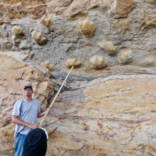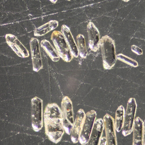
Detrital zircon grains of an igneous rock as seen through an incident light microscope. Photo credit: Martin Lindner. From: Költringer Geology November 21, 2023 Case Study: detrital zircon [ED: On the occasion of releasing a new dataset: ON-004-04D Data tables of detrital zircon U-Pb geochronologic analyses and trace element concentrations of select Cretaceous, Paleogene, and Neogene rocks, Denver Basin and Northeastern Colorado (Data) – v20231110 that features data on 10 samples tested from a…
Skyline Drive General, Geology May 19, 2022 Fremont County geologic attractions Fremont County, two hours south of Denver, is located on the south-central Front Range of Colorado in a geological region called the Cañon City Embayment. Its geological environment and history is incredibly diverse as are its paleontological treasures. It is the only county in Colorado featuring two…
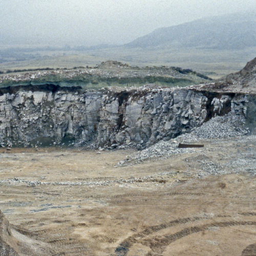
Munroe Quarry near Livermore Geology, Hazards April 11, 2022 Case Study: Lykins Formation Small but significant areas of Colorado are underlain by bedrock that is composed of evaporative minerals. These are salts and sulfates that precipitate out of salt-concentrated surface waters. In the geologic past these minerals were deposited in shallow seas within closed or restricted basins where…
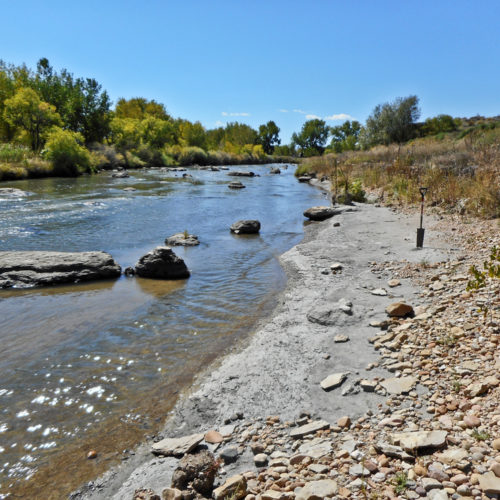
Pierre Shale (gray) exposed along St. Vrain Creek in Weld County General, Geology, Publications March 16, 2022 Recent reports published OF-20-11 Alkaline Complexes of the Wet Mountains Area, Colorado: A Geological Summary, Bibliography, and Data Compilation of Critical Mineral Laboratory Results — With renewed interest in critical minerals driven by global demand and consequent shortages, the CGS funded a compilation of historical sample results and a…
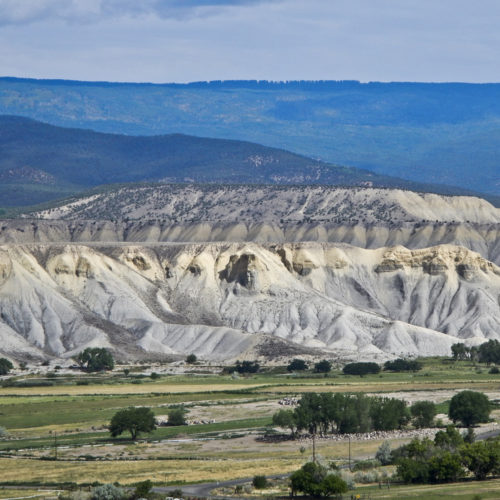
Looking northwest to Hells Kitchen from Ekkert General, Geology, Publications April 26, 2021 Recent STATEMAP quadrangles The CGS actively participates in the STATEMAP portion of the US Geological Survey’s National Cooperative Geologic Mapping Program (NCGMP), a nation-wide effort to generate comprehensive…
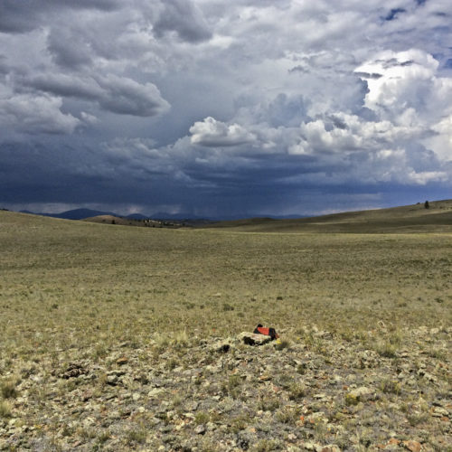
The classic afternoon thunderstorm forming over South Park can make field work ... complicated! Antero Reservoir Northeast quadrangle General, Geology, Publications September 9, 2020 Recent STATEMAP quadrangles The CGS actively participates in the STATEMAP portion of the US Geological Survey’s National Cooperative Geologic Mapping Program (NCGMP), a nation-wide effort to generate comprehensive…
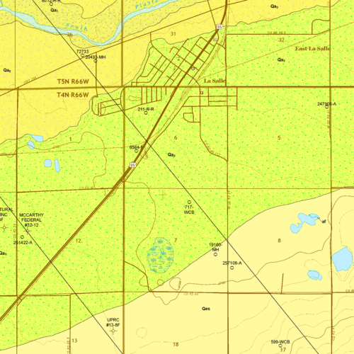
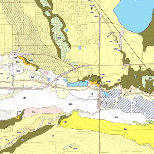
OF-19-03 Geologic Map of the La Salle Quadrangle Geology, Publications April 24, 2020 OF-19-03 Geologic Map of the La Salle Quadrangle, Weld County, Colorado As we continue to expand geological mapping coverage of Colorado, we recently uploaded another of our STATEMAP 7.5-minute, 1:24,000 quadrangle mapping products to our online store: OF-19-03 Geologic Map of the La Salle Quadrangle, Weld County, Colorado. Our…
Uranium roll front hosted in Dakota Sandstone Energy, Minerals August 14, 2018 Geology of Uranium Deposits in Colorado Uranium is a widespread and ubiquitous element. It has a crustal abundance of 2.8 parts per million, slightly more than tin. Primary deposits of uranium tend to concentrate in granitic or alkalic volcanic rocks, hydrothermal veins, marine black shales, and early Precambrian age placer deposits. Secondary (or epigenetic) deposits of…
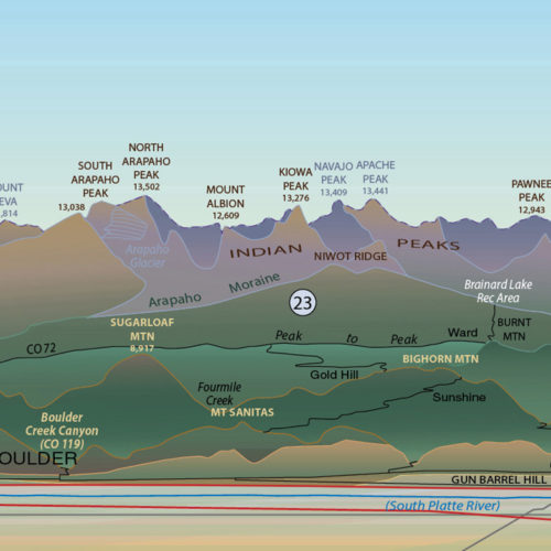
OF-16-03 Colorado Rocky Mountain Front Profiles (detail)|OF-16-03 Colorado Rocky Mountain Front Profiles (detail)|OF-16-03 Colorado Rocky Mountain Front Profiles (detail)|OF-16-03 Colorado Rocky Mountain Front Profiles (detail)|OF-16-03 Colorado Rocky Mountain Front Profiles General, Geology, Publications May 15, 2017 OF-16-03 Colorado Rocky Mountain Front Profiles (NOTE: We’ are currently rolling over our physical publications sales to Amazon, and we haven’t yet gotten this great poster in stock at the Amazon fulfillment center for shipping as of yet. We hope to issue an updated version at some point in 2023!) Can you name the features…
OF-16-05 Geologic Map of the Longmont Quadrangle Geology, Publications April 12, 2017 OF-16-05 Geologic Map of the Longmont Quadrangle, Boulder and Weld Counties, Colorado We just uploaded the most recent of our STATEMAP mapping products to our online store: the Geologic Map of the Longmont Quadrangle, Boulder and Weld Counties, Colorado. The STATEMAP series in general provides a detailed description of the…
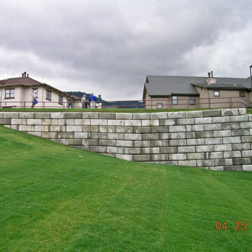
Retaining wall settlement at the center of the image with the sorority houses in the background and the IM field in the foreground. Photo credit: T. C. Wait for the CGS.|The Rockwell clay mine area immediately south of the CSM campus along US 6 in 1977 before more recent reclamation as a golf course. The green area to the top left is part of the IM field where the subsidence occurred. Photo credit: Colorado Geological Survey.|DC resistivity survey crew from the engineering firm Zapata/Blackhawk laying out the multicore switch cables across the IM field area in 2008. Photo credit: T. C. Wait for the CGS.|Subsidence road damage near one of the sorority houses at CSM in August 2005. Photo credit: T. C. Wait for the CGS.|A drill-rig preparing boreholes for subsurface grouting under the IM field in August 2005. Photo credit: T. C. Wait for the CGS.|One of the several subsidence features in the IM field at the Colorado School of Mines in 2005. Photo credit: T. C. Wait for the CGS.|Figure from DC resistivity report from 2009 detailing some of the infrastructure Geology, Hazards April 26, 2005 Case Study: mine subsidence, CSM For decades, the west side of the Colorado School of Mines (CSM) main campus had subsidence issues related to historical mining activities. At one point, in the 1990s, one of the married student housing units in that area was so badly damaged that it was condemned. In the early…
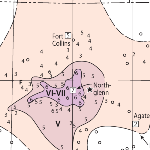
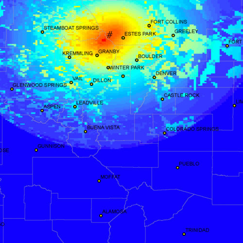
Isoseismal map for the earthquake north-east of Denver - 9 August 1967 - MMI VII. (detail) Geology, Hazards August 9, 1967 Case Study: Denver – August 9, 1967 Major magnitude 5.3 earthquake shock in Denver One of the strongest and most economically damaging earthquakes to affect the Denver area in the 1960s occurred on August 9, 1967 around 6:30 AM, awakening and frightening thousands of people. This magnitude 5.3 earthquake, centered near Commerce…