Geology
March 30, 2023
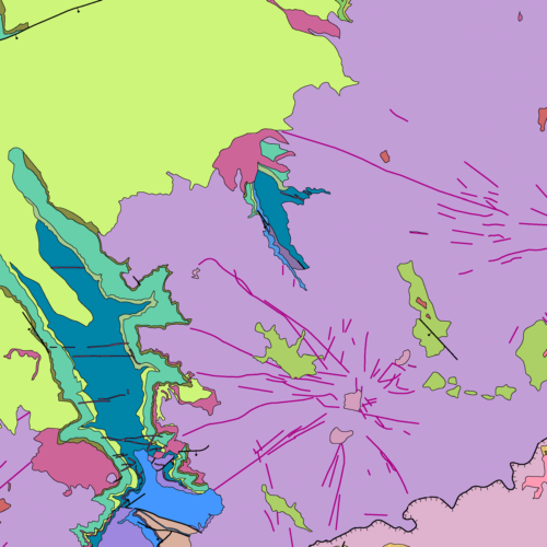
New Colorado 30×60 minute quadrangle datasets
Underwritten with special supplemental funding though the US Geological Survey (USGS) STATEMAP Program, we digitized, re-compiled, and quality-controlled several…
The CGS has produced detailed 7.5-minute geologic <a href=”https://en.wikipedia.org/wiki/Quadrangle_(geography)” rel=”noopener” target=”_blank”>quadrangle maps</a> of almost 150 of the 1,400 ‘quads’ covering Colorado.

Geology
March 30, 2023
Underwritten with special supplemental funding though the US Geological Survey (USGS) STATEMAP Program, we digitized, re-compiled, and quality-controlled several…
Geology
September 9, 2020
The CGS actively participates in the STATEMAP portion of…
Geology
April 24, 2020
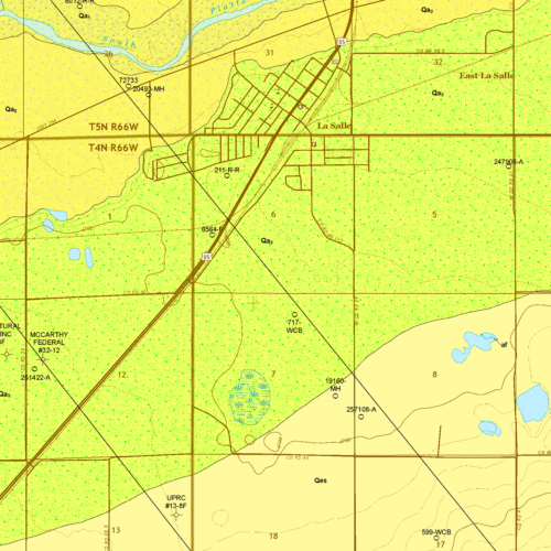
As we continue to expand geological mapping coverage of Colorado, we recently uploaded another of our…
Geology
June 27, 2017
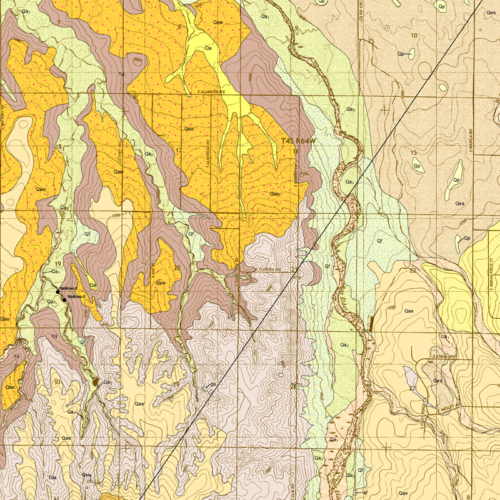
We’ve just uploaded the next of our free STATEMAP quadrangle map products to…
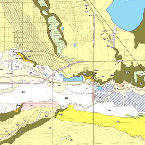
Geology
April 12, 2017
We just uploaded the most recent of our STATEMAP mapping products to…