Geology
April 24, 2020
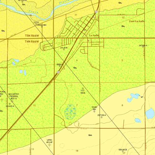
OF-19-03 Geologic Map of the La Salle Quadrangle, Weld County, Colorado
As we continue to expand geological mapping coverage of Colorado, we recently uploaded another of our…
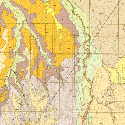
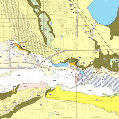
A geologic map is a depiction of geologic features over a specific area of land. Geologic structures such as faults and folds are indicated with strike and dip symbols and color is used to differentiate rock units.

Geology
April 24, 2020
As we continue to expand geological mapping coverage of Colorado, we recently uploaded another of our…

Geology
June 27, 2017
We’ve just uploaded the next of our free STATEMAP quadrangle map products to…

Geology
April 12, 2017
We just uploaded the most recent of our STATEMAP mapping products to…