The CGS actively participates in the STATEMAP portion of the US Geological Survey’s National Cooperative Geologic Mapping Program (NCGMP), a nation-wide effort to generate comprehensive geologic maps of individual 7-1/2-minute topographic quads. Following one or sometimes two seasons of intensive field work by a team of researchers, field information is carefully compiled, reviewed, and released as one of our geologic quadrangle maps. These are in the form of high-resolution PDF files along with a corresponding package of GIS data.
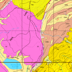
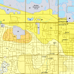
The Geologic Mapping Advisory Committee (GMAC)—with representatives from State, Federal, and Tribal governments, academia, and the private sector—select which Colorado quadrangles are included in this ongoing program. Our STATEMAP progression map shows the many quads that have been completed, are in progress, or under current consideration across the state. The program provides crucial information to many constituents on geologic hazards, mineral resources, and groundwater, as well as informing a range of land-use issues across the state.
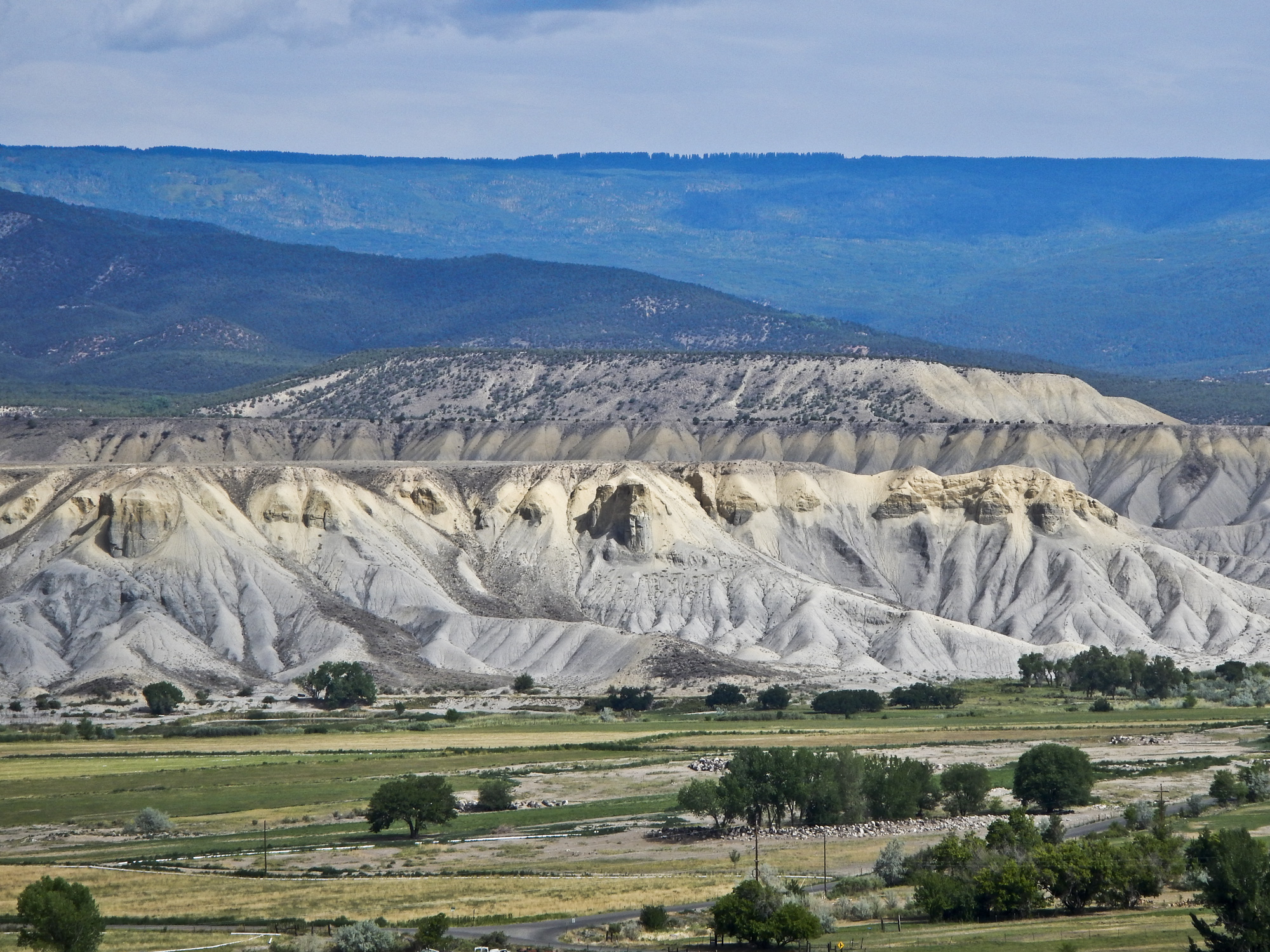
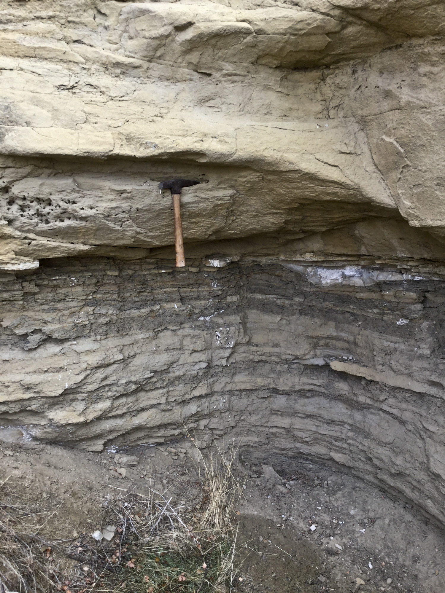
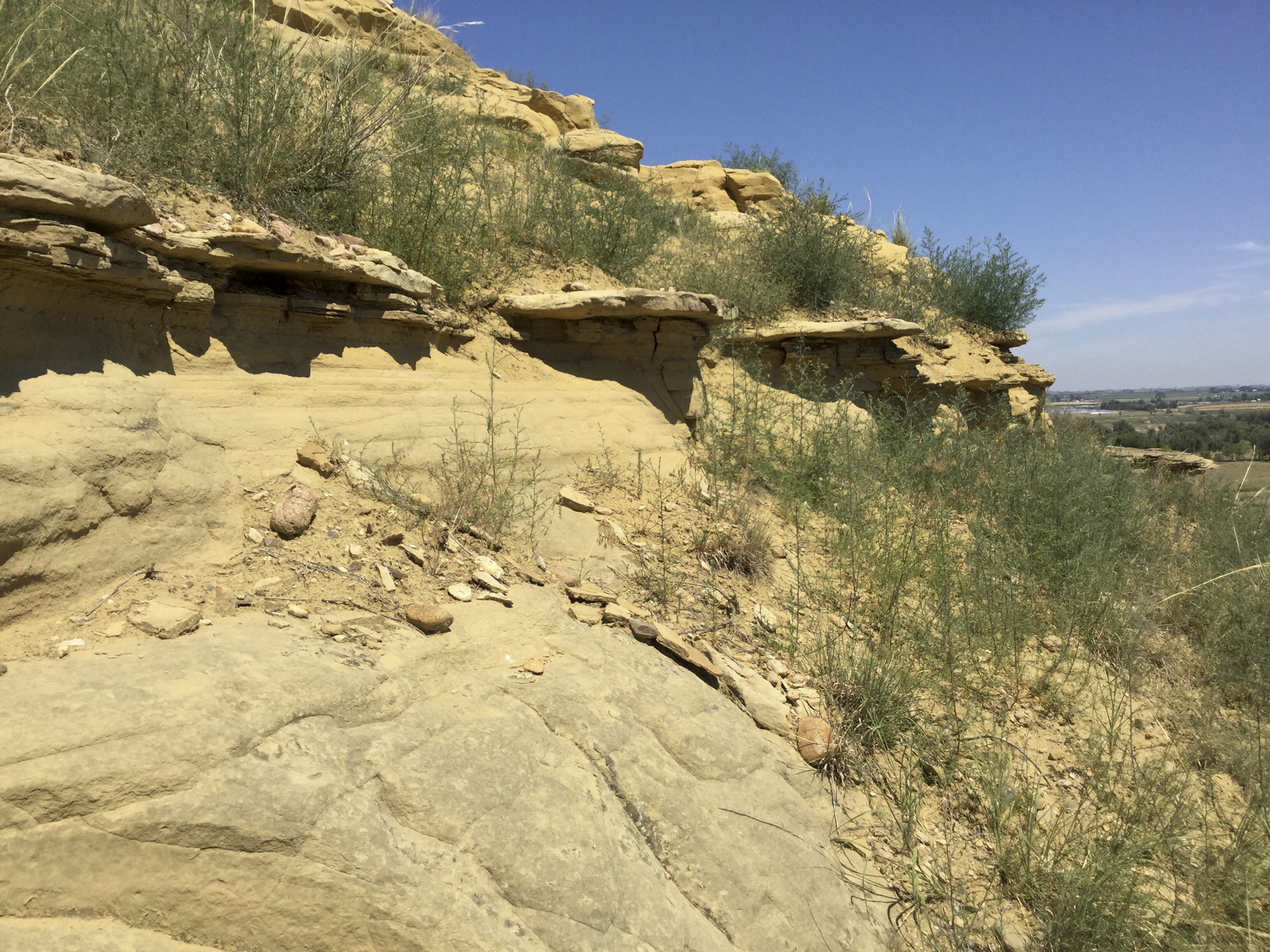
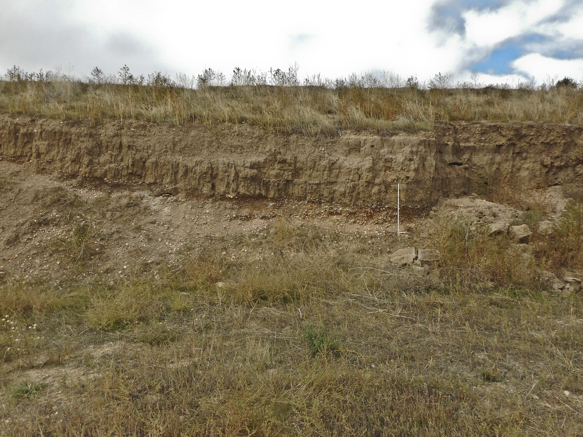
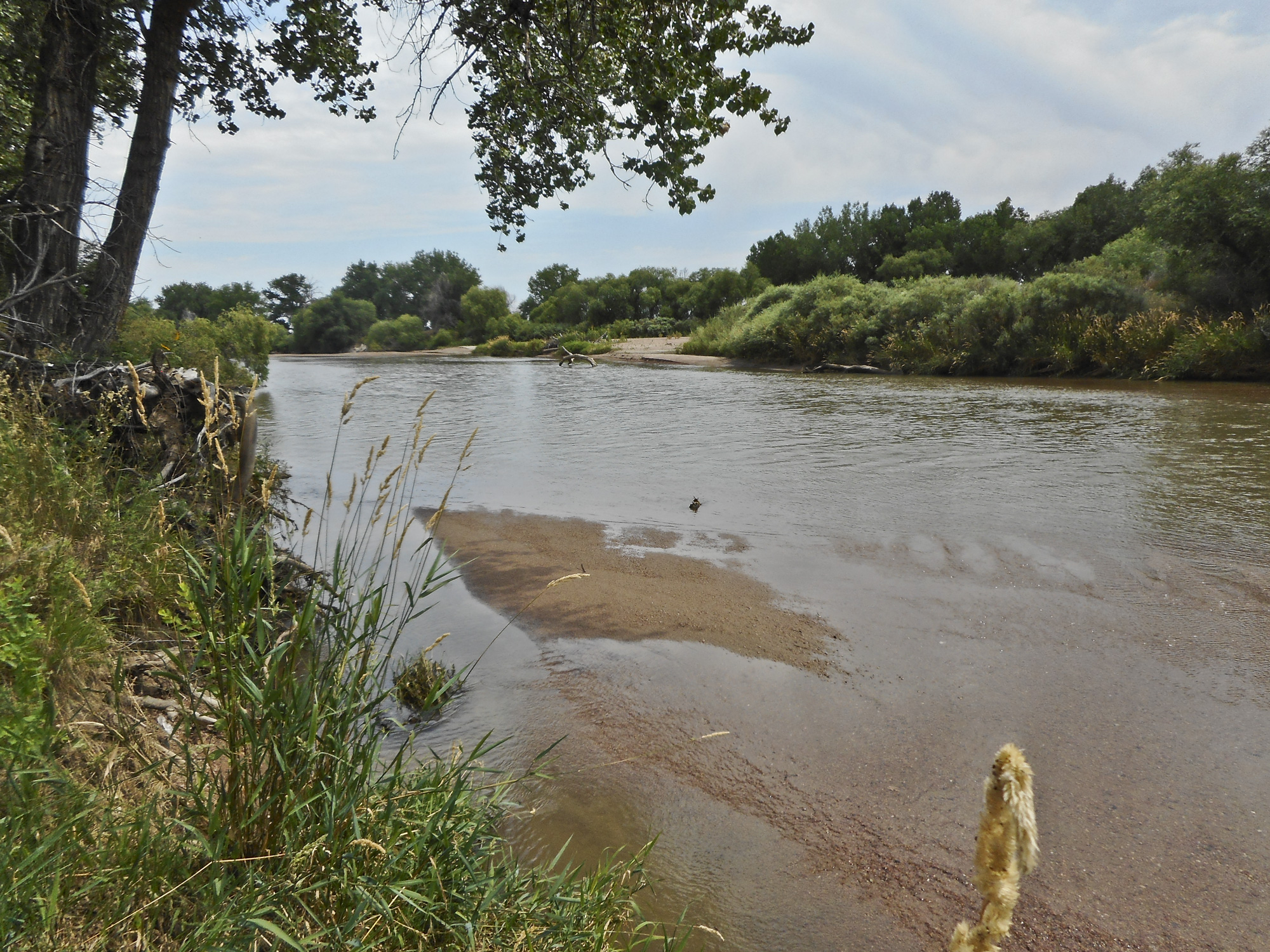
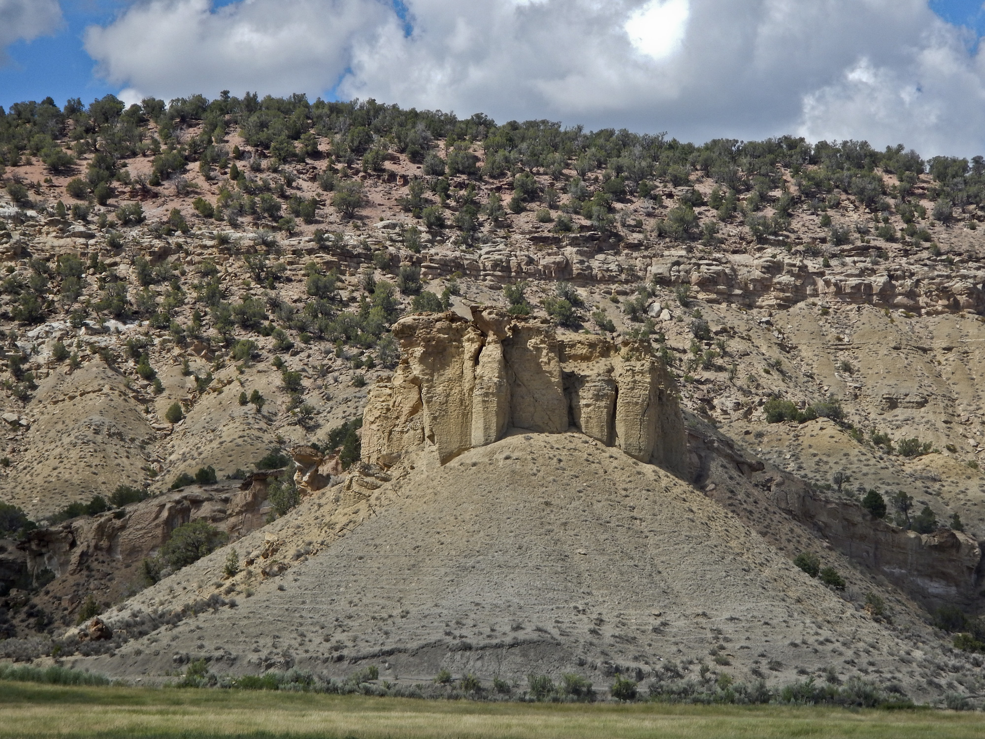
Contact between two facies of the Fox Hills Sandstone, between Greeley and Windsor, Colorado. Photo credit: Martin Palkovic for the CGS.Cache La Poudre River alluvium (Qa1) flanks a stream cut of Fox Hills Sandstone in the western part of the Bracewell quad, August 2019. Photo credit: Martin Palkovic for the CGS.Outcrop of the Fox Hills Sandstone on the south side of the Cache La Poudre River in the Bracewell quad. August 2019. Photo credit: Martin Palkovic for the CGS.Excavated face in an inactive gravel pit in Cache la Poudre River valley north of Greeley. A channel of overlying, finer-grained, darker-colored alluvium 2 (between 2-4 Ka) was eroded and then filled in the underlying, coarser-grained, lighter-colored deposits of alluvium 3. The lowest part of the alluvium 2 channel is at the white folding rule. Photo credit: Stephen Keller for the CGS.Close and distant bars in modern alluvium, South Platte River south of Greeley. Modern bar sediment ranges from fairly uniform coarse sand (foreground) to a mix of coarse sand to rounded cobbles. In the northern Colorado Piedmont this modern alluvium is the youngest of four alluvial deposits found along the South Platte. Photo credit: Stephen Keller for the CGS.Looking northwest to Hells Kitchen from Eckert, Colorado, towards Grand Mesa across the wide range of environments from “The Adobes” on Tongue Creek in the foreground to the aspen and spruce forests on the Mesa, July 2018. Photo credit: Jon White for the CGS. A cuesta along Dirty George Creek capped by Cozzette Sandstone that interfingers the Mancos Shale. The thick whitish colored sandstone in the center background above the Mancos is the Rollins Sandstone of the Iles Formation. The reddish rock above is coal-fire clinker in the Williams Fork Cameo coal zone, south of Hells Kitchen, Delta County, Colorado. Photo credit: Jon White for the CGS.