Description
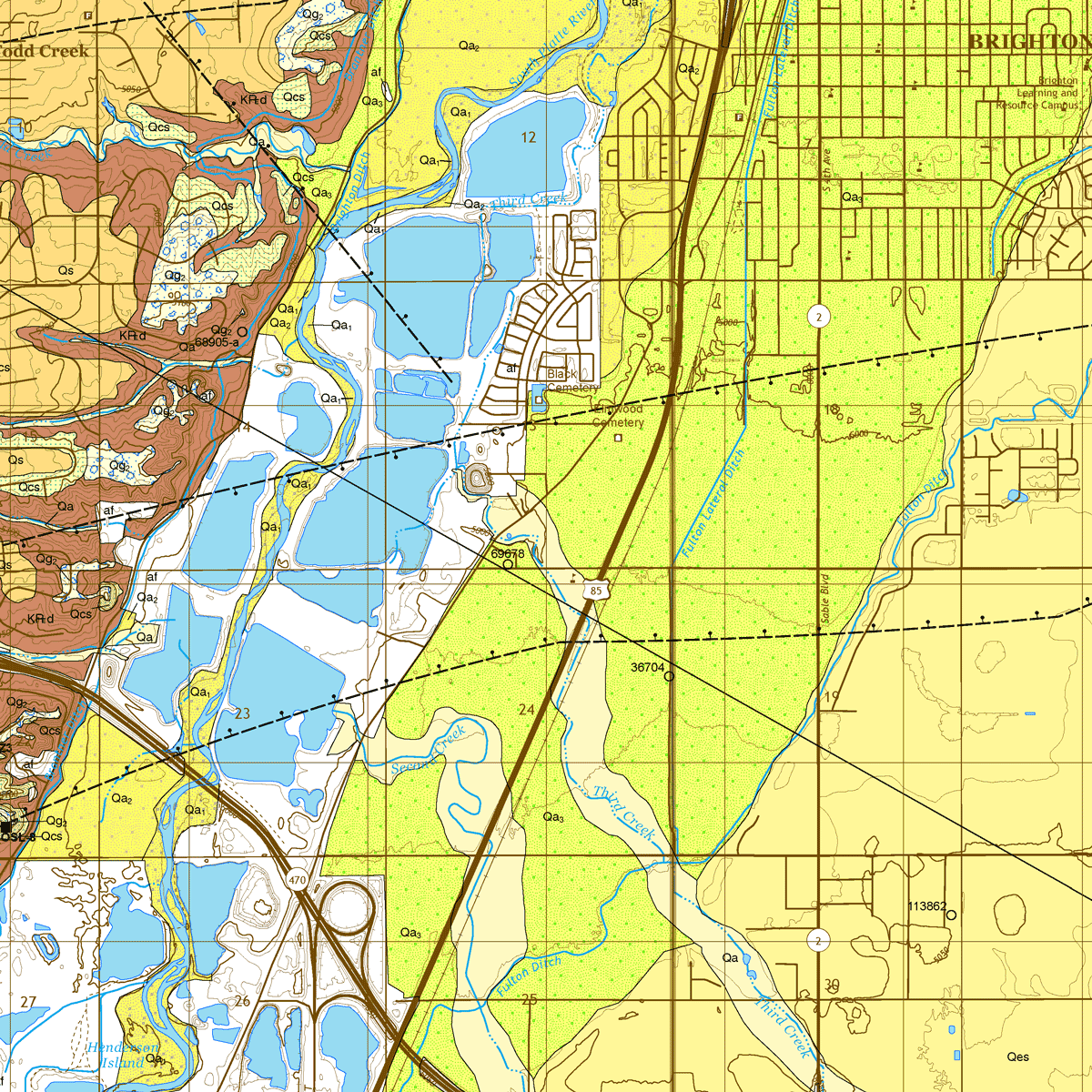
The purpose of this publication is to describe the geology, geologic resources, and geologic hazards of this 7.5-minute quadrangle. It is a continuation of field mapping work on the northern Front Range of Colorado where the CGS has cumulatively mapped 13 other quadrangles in the past few years, this one extending the contiguously mapped area further south around the town of Brighton. CGS Geologists Matt Morgan and Mike O’Keeffe along with field assistant Alex Marr completed the field work on this project during the mapping seasons of 2021-22. Digital ZIP download. OF-20-02D
From the Geologic History:
The Brighton quadrangle is located within the Front Range Urban Corridor, about 20 km north of Denver, Colorado. It lies within the northern part of the Colorado Piedmont, a physiographic province that is bounded by the Rocky Mountains Foothills to the west, and High Plains to the north and east. The Colorado Piedmont is largely devoid of Neogene rocks and sediments due to fluvial downcutting, erosion, and geomorphic evolution of the South Platte and Arkansas rivers drainage basins during the Pliocene. These processes resulted in a scoured region that is topographically lower than the other physiographic provinces that bound it. Relief within the quadrangle ranges in elevation from approximately 1,495 m to 1,600 m, and is largely a result of incision by the South Platte River and its tributaries. The river flows from the southwest to north on the western portion of the quadrangle.
