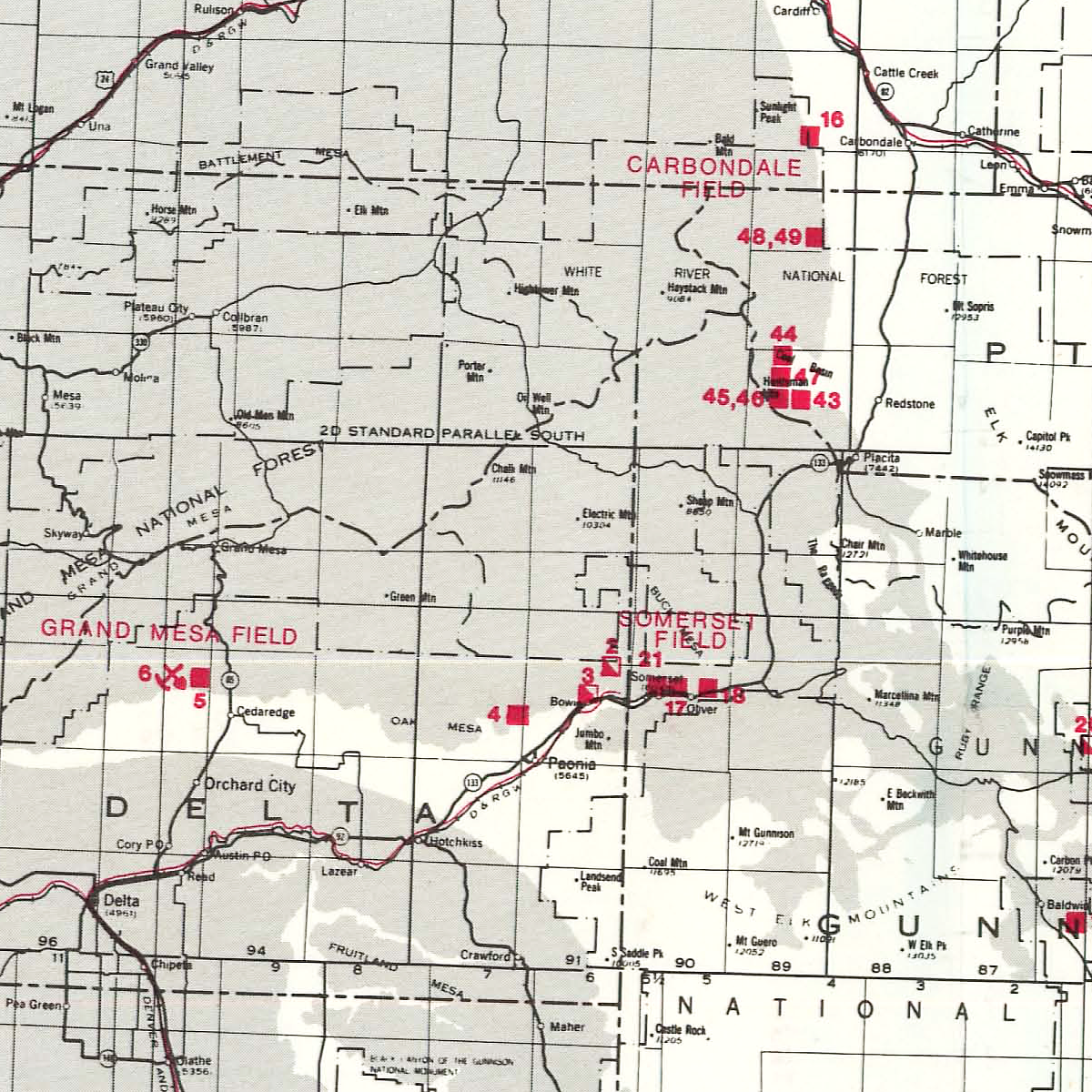
Statewide map of coal mines licensed as of June 01, 1978. The purpose of the map is to provide insight into the Colorado coal industry. The map locates mines and lists them by county, coal mine number and name; also listed are the township and range location, geologic formation, coal thickness and type (rank), use, number of employees, and the 1977 annual production plus cumulative total production to June 1, 1976. This product updates MS-08 and OF-76-01, which contained production information to April 1, 1977 and January 1, 1976, respectively. MS-12 was subsequently updated and revised by MS-15 in 1981, MS-23 in 1984, RS-29 in 1989, and RS-32 in 1995-96. 1 plate (1:1,000,000). Digital PDF download. MS-12D
1970s,
Archuleta,
Book Cliffs,
Cañon City Embayment,
CGS,
coal,
Cretaceous,
Dakota,
Delta,
Denver Basin,
digital,
download,
energy,
free,
Fremont,
fuels,
Garfield,
Green River,
Gunnison,
Huerfano,
Iles,
Jackson,
La Plata,
Laramie,
Las Animas,
Mesa,
Mesaverde,
minerals,
mining,
Moffat,
Montrose,
MS-,
North Park,
Paleocene,
Paradox Basin,
pdf,
Piceance Basin,
Pitkin,
publication,
Raton Basin,
resources,
Rio Blanco,
San Juan Basin,
Sand Wash Basin,
statewide,
Weld,
Western Slope,
Williams Fork
Goolsby, Steven M., and Nir Bhao Singh Reade. “MS-12 Map of Licensed Coal Mines in Colorado as of June 1, 1978.” Coal Mines. Map Series. Denver, CO: Colorado Geological Survey, Department of Natural Resources, 1978. https://coloradogeologicalsurvey.org/publications/map-licensed-coal-mines-colorado-1978.
