Description
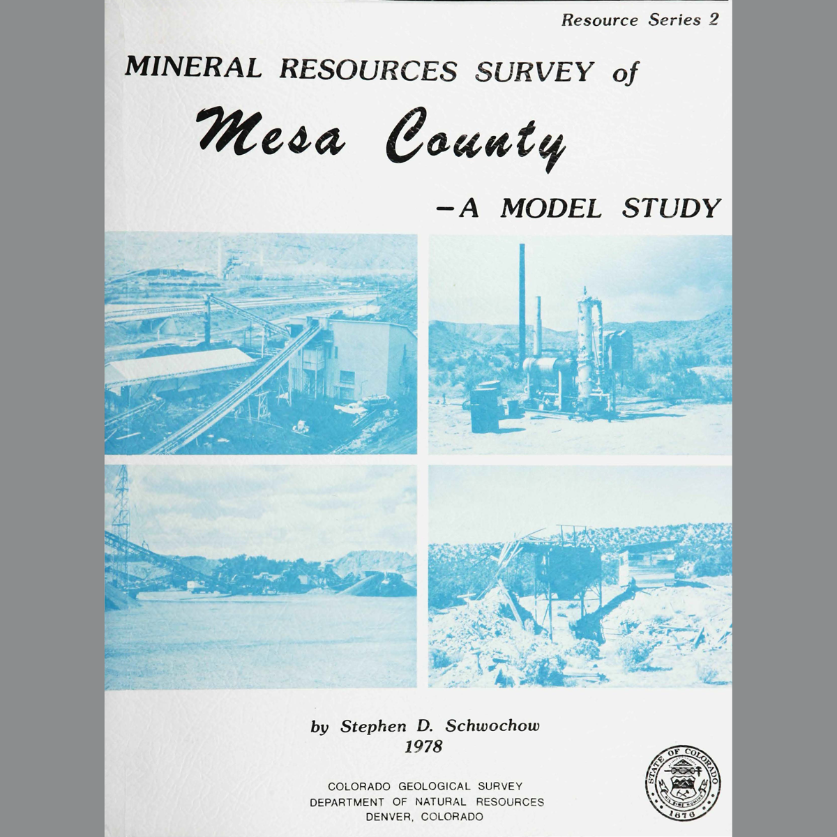
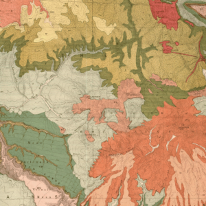
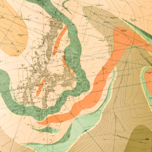
Geology of mineral resources, mining history, production statistics, and planning considerations of Mesa County. Includes resource maps, which show coal, gas, oil shale, uranium, construction materials, mines, pits, quarries, plants, and pipelines. 110 pages. 45 figures. 19 tables. 2 plates (1:500,000 and 1:1,000,000). Digital PDF download. RS-02D
The purpose of the Mesa County mineral resources survey is twofold. First, as the hub of western slope development and energy activity. Mesa County and Grand Junction are in a favorable position to incorporate basic resource information into their comprehensive land-use plans. The identification of resource areas and mining industry activities early in the land development cycle will help avert some of the problems that have plagued other growing metropolitan areas. Secondly, as the Survey’s first model study on the county level, this inventory hopefully provides a format by which other counties may conduct their own surveys. In addition to covering a variety of mineral resources — metals, non-metals, and mineral fuels — the inventory includes geologic structure, and exploration, mining, processing, and transportation facilities to round out the industrial picture.
