Description
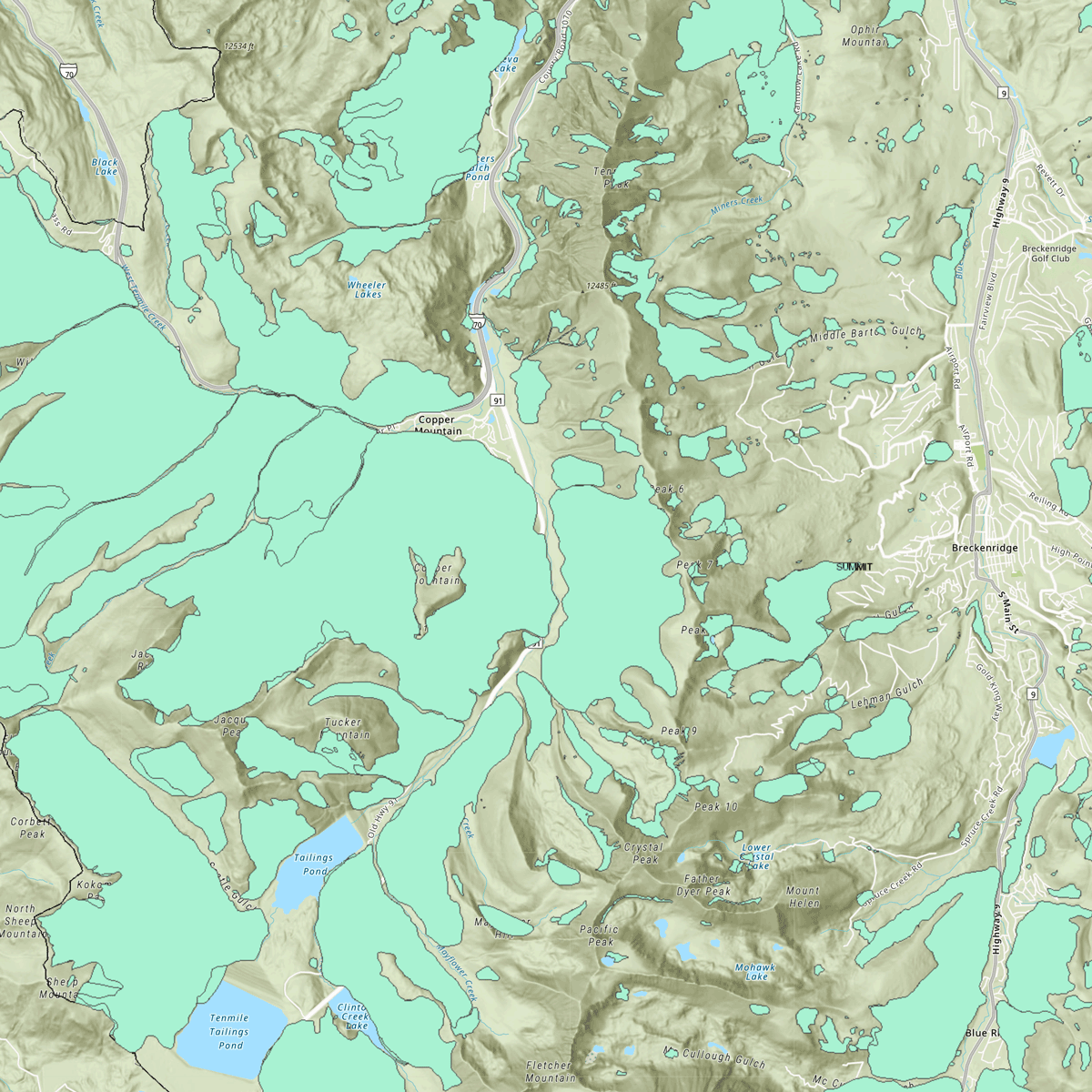
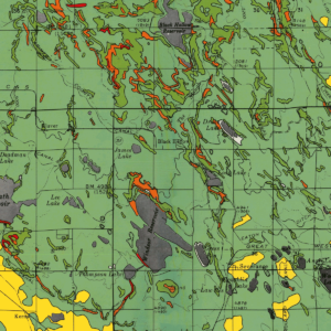
The CGS develops and provides geologic hazard maps to state and local governments for use in planning processes and hazard mitigation plans. This map is part of a statewide effort to develop landslide inventory maps for landslide-prone areas in Colorado. This study 1) evaluates and maps known and previously unmapped landslide deposits with the aid of new high-resolution light detection and ranging (lidar) data. This GIS map contains the most current information for this project. Online resource. ON-006-14M – v20220920
(Note: “Add to cart” does not provide access to the map — use the direct link below.)
To the map: ON-006-14M Landslide Inventory of Summit County, Colorado (Map) – v20220920
