Description
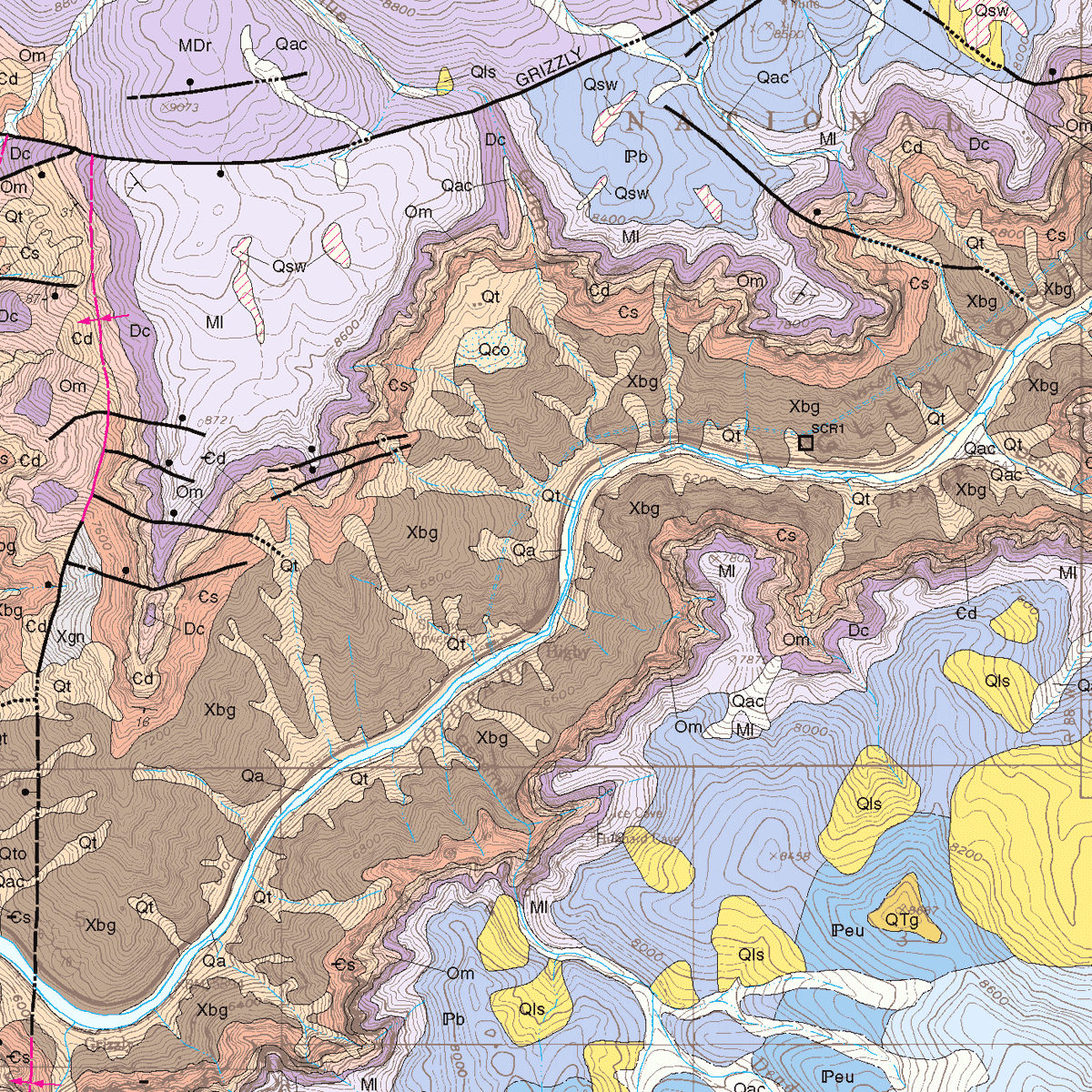
The Shoshone quadrangle covers about 58 square miles in Garfield County, and is located east of the city of Glenwood Springs. Includes cross section; map unit correlation; shaded-relief map with geology overlay; and booklet of extended descriptions of map units, geologic setting, structural geology, economic geology, and references. Note that MS-35 is the digitally produced, full color version replacing our original black and white open-file report OF-95-04, as further discussed below. 24 pages. 1 plate (1:24,000). Digital PDF download. MS-35D
This map and accompanying booklet were slightly modified from the original OF-95-04, incorporating (1) improved knowledge of the regional late Cenozoic evaporite collapse, (2) improved correlation of Neogene basaltic rocks based on new data from 5 samples of volcanic rocks collected from this quadrangle, (3) improved edge matching of the geology shown on this quadrangle with adjacent quadrangles, and (4) interpretation of the geology of the mapped area with respect to the regional knowledge acquired by mapping contiguous quadrangles.
