Description
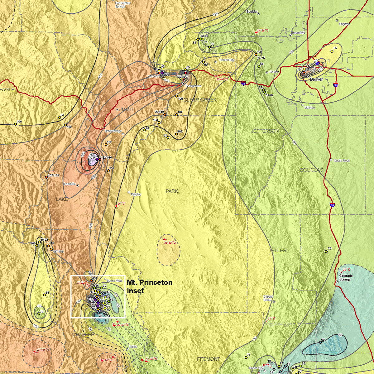
This publication depicts the movement of heat from the Earth’s interior to its surface in Colorado. The geographic distribution of heat flow is one of several indicators of the location of potential geothermal resources in Colorado. The map compiles the most recently available data regarding heat flow in Colorado by using geothermal databases from Southern Methodist University, University of North Dakota, and University of Michigan. In addition, the CGS calculated 40 additional heat flow values from borehole temperature-depth logs and other published gradient data. Heat flow data are merely one of several types of data that indicate the quality of geothermal resources in an area. This information is useful for geothermal resource exploration, especially when used in conjunction with other types of geological, geophysical, and hydrogeological data. Data types that are also useful in assessing geothermal resources include geothermal gradient, geothermometry, geophysical data (electrical, magnetic, magnetotelluric, gravity, remote sensing), and shallow-depth ground temperature measurements. Included are two plates, an Excel-based heat flow database, a database description, and database reference list. Digital ZIP download. MS-45D
