Geology
June 3, 2021
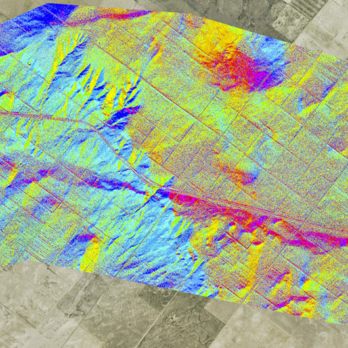
New GIS data and maps
For those of you who are subscribers to the CGS announcement list, we want to direct your attention to a…
Geology
June 3, 2021
For those of you who are subscribers to the CGS announcement list, we want to direct your attention to a…
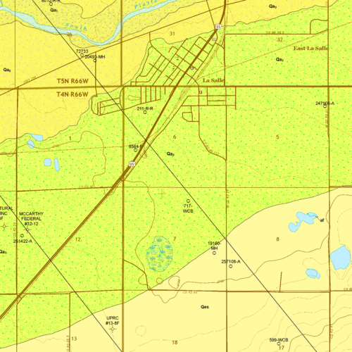
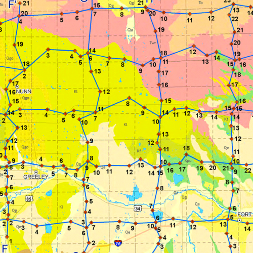
Geology
April 26, 2021
The CGS actively participates in the STATEMAP portion of…
Geology
April 15, 2021
For those of you who are recent subscribers to the CGS mailing list, we wanted to direct your attention to…
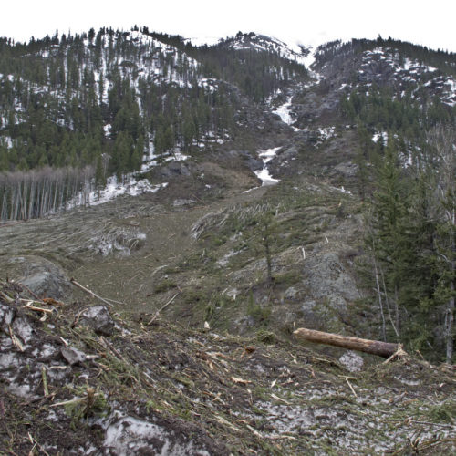
Hazards
February 8, 2021
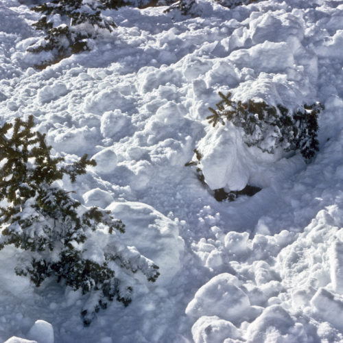
Here in Colorado, avalanche season is not over yet, and it’s been another deadly one with 26 fatalities so far…
Geology
November 24, 2020
As the reconstruction of our website continues, we recently redeployed a popular package of information that was compiled and made…
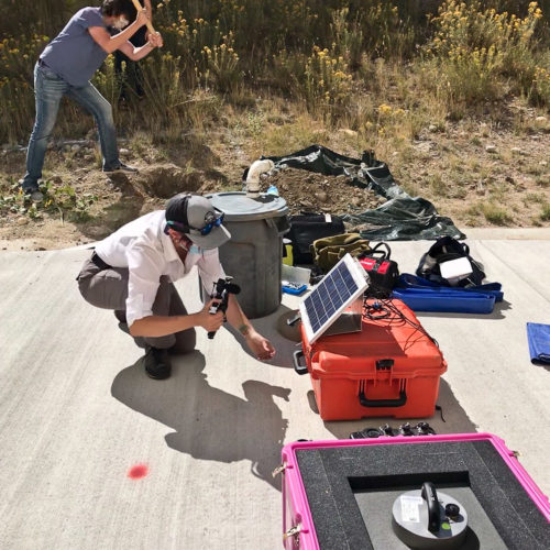
Hazards
October 13, 2020
Mines students partner with the CGS to install seismometer on campus Colorado School of Mines geophysics students enrolled…
Geology
September 9, 2020
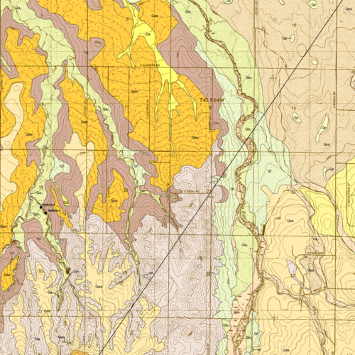
The CGS actively participates in the STATEMAP portion of…
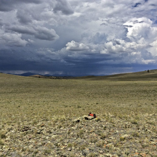
Geology
July 22, 2020
It's field mapping time, and much of our staff are out in several different areas of the state, doing field work. A majority of the field work is part of the STATEMAP program—preparing geologic maps of particular quadrangles for the US Geological Survey sponsors of that nation-wide program.
Hazards
July 14, 2020
TITLE: Historic Avalanches in Hinsdale County, Colorado: Impacts to Lake City, old mining dams, and new evidence for the association…
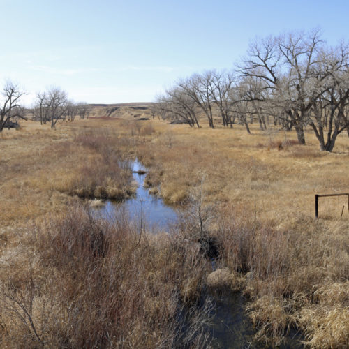
Water
June 7, 2020
ON-010 Colorado Groundwater Atlas
Geology
April 24, 2020
As we continue to expand geological mapping coverage of Colorado, we recently uploaded another of our…
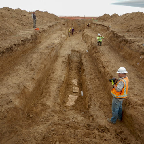
Hazards
March 20, 2020
One of the missions of the CGS is to better understand the various geological risks that face the residents of…
Energy
February 18, 2020
[Ed: this document, written in 2011 by Jim Burnell, Ph.D., P.G. (former Senior Minerals Geologist, Colorado Geological Survey), provides an…

Geology
February 10, 2020
The Meteorite Collection of the Denver Museum of Nature & Science publication
General
January 10, 2020
If you want to find out what's happening with the new CGS site, read here! Apologies for the incompleteness, it will improve on a daily basis, we promise!

General
December 13, 2019
Not only sands and gravels Were once more on their travels, But gulping muddy gallons…
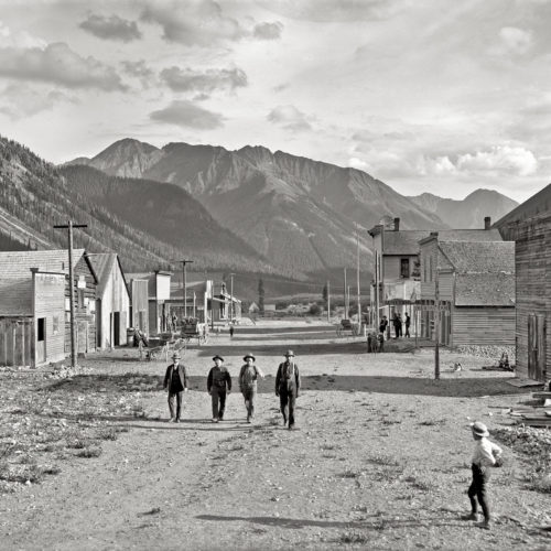
Geology
October 16, 2019
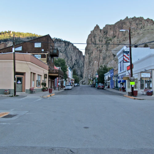
This RMPBS/Colorado Experience video explores the vibrant mining history of Creede, Colorado.
Energy
August 14, 2018
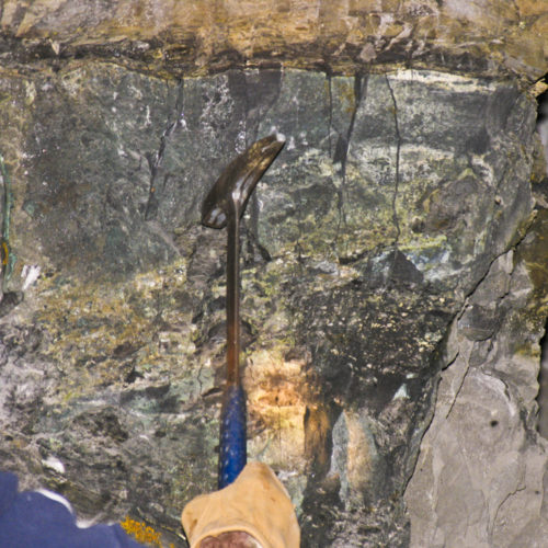
Uranium is a widespread and ubiquitous element. It has a crustal abundance of 2.8 parts per million, slightly more than…
Hazards
July 12, 2018
By Jonathan White, Senior Engineering Geologist, Emeritus At the end of the 19th and beginning of…
Geology
April 28, 2018
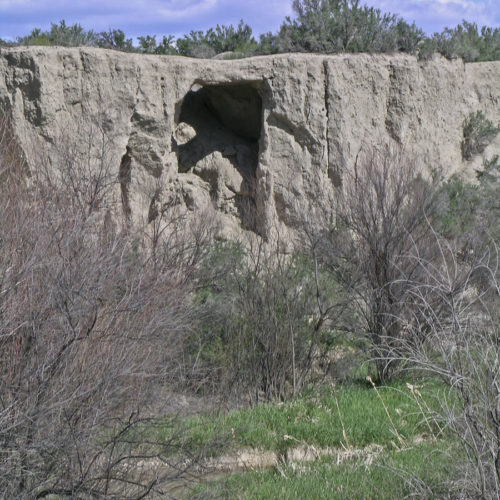
No Geologist worth anything is permanently bound to a desk or laboratory, but the charming notion that true science can…
Geology
March 24, 2018
One of the many fascinating videos from our geo-friends up the road at University of Colorado-Boulder:…
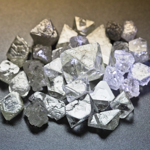
Minerals
February 19, 2018
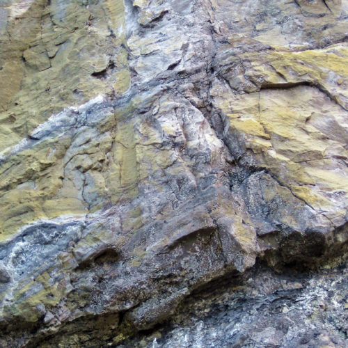
Diamonds are formed from pure carbon, one of the most abundant elements on planet Earth. Diamonds, even from ancient times,…
Hazards
January 24, 2018
Hazards
December 30, 2017
Colorado has many areas susceptible to the problems that swelling soils cause. This video gives some…
Geology
November 15, 2017
Our friends over at the Colorado Division of Water Resources (CDWR) have just released Water Resources…
Hazards
September 12, 2017
Members of our geoscience staff are busy this week participating in the Annual Meeting of the…
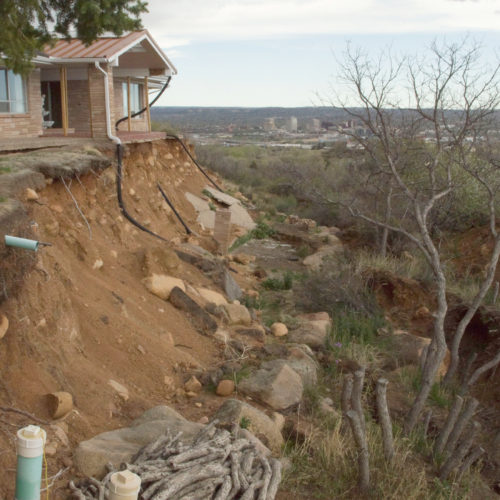
Hazards
August 14, 2017
Dramatic landslide headscarp threatens this structure on Constellation Drive in Skyway, Colorado Springs, Colorado, May 2017. Photo…

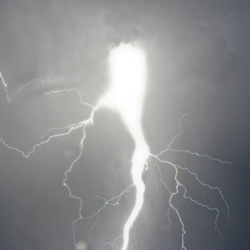
Hazards
July 9, 2017
Earthquakes strike suddenly, violently, and without warning. While Colorado is not as seismically active as some places, it does have…
Geology
June 27, 2017
We’ve just uploaded the next of our free STATEMAP quadrangle map products to…
Hazards
May 16, 2017
The Association of American State Geologists announced that their annual John C.