Water
November 11, 2022
Case study: Fluvial Hazard Zone
“The Fluvial Hazard Zone (FHZ) is defined as the area a stream has occupied in recent history, may occupy, or…
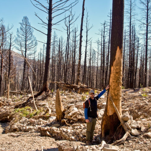
A debris flow is a water-saturated flow of soil, rock fragments, and debris. Debris flows can flow as fluidly as water and move over 20 miles per hour. As they flow, they pick up objects, may funnel into stream channels, and leave thick, muddy deposits in their paths.

Water
November 11, 2022
“The Fluvial Hazard Zone (FHZ) is defined as the area a stream has occupied in recent history, may occupy, or…

Hazards
June 23, 2021
Noting that we were getting hundreds of search hits on a previous version of an info-brochure that we originally published…

General
December 13, 2019
Not only sands and gravels Were once more on their travels, But gulping muddy gallons…

Hazards
March 23, 2003
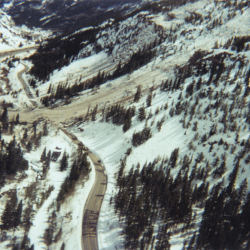
On March 23, 2003, a large avalanche occurred about one mile west of the Town of Silver Plume. The avalanche brought trees, rock, soil and snow to the valley floor, knocked down overhead utility lines, blocked the I-70 frontage road, damaged the town’s water treatment plant (WTP), and dammed Clear Creek. The dam was breached using explosives before the plant’s electric pump motors were flooded. With damage to the WTP’s chlorine contact tank and building, Silver Plume residents had to boil their tap water for over a month.