Description
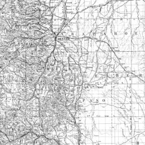
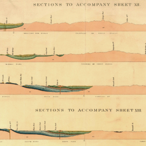
Describes the geologic setting and mineral resource potential of 7.5-minute quadrangle located west of Glenwood Springs. Includes cross sections, map unit correlation, map with geology overlay, booklet of extended descriptions of map units, previous studies, present study, stratigraphy and structures. 18 pages, 1 color plate (1:24,000). Digital PDF download. OF-01-02D
From the Authors Notes:
The Gibson Gulch 7.5-minute quadrangle is in the easternmost part of the Colorado Plateau physiographic province near its boundary with the Southern Rocky Mountains. In this area, that boundary coincides with the Grand Hogback monocline. The north margin of the quadrangle is a few miles south of the Colorado River, about midway between the towns of Glenwood Springs and Rifle. The terrain in this area is rugged; topographic relief in the quadrangle is a little more than 4,000 ft. Altitudes range from about 5,670 ft whereDivide Creek leaves the area, near the northwest corner of the quadrangle, to about 9,700 ft near the southeast corner of the quadrangle. The major valleys are deep and have narrow floors. Because of the high relief, climate and natural vegetation vary widely. The climate is semiarid in the northern and westernmost parts of the map area, and subhumid at altitudes higher than 8,000 ft in the southeastern part of the map area. Piñon pine-juniper woodland is the most extensive ecosystem in the quadrangle. It is on uplands and slopes of all aspects in most of the northern half of the map area and, except on north-facing slopes at altitudes higher than 6,600 ft, it is the principal plant community at altitudes as high as 7,200 ft. On dry sites and some south-facing slopes, it extends as high as 7,800 ft. Generally, dense stands of mountain shrubs, chiefly Gambel oak, cover most north and northwest-facing slopes at altitudes between about 6,600 and 8,500 ft.
