Description
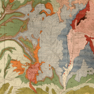
The purpose of this report is to describe the geology, geologic resources and geologic hazards of this 7.5-minute quadrangle located in western Colorado. This quadrangle is located predominately in the Grand Valley and includes a portion of the Book Cliffs. Due to down cutting by the Colorado River and its tributaries, there are as many as seven terraces of alluvial deposits extending up to 220 feet above the stream channels. The exposed bedrock consists predominately of Cretaceous formations, of which the Mancos Shale and its various members constitutes the main formation underlying the Grand Valley. Due to the cliff and valley topography and the soft shales, there are also a significant number of mass wasting deposits mapped in this quadrangle.
CGS staff geologist Jonathan L. White completed the field work on this project during the summer and fall of 2014. 2 plates: map, cross section, and 3-D oblique view. Also included are GIS data. Digital PDF/GIS/ZIP download. OF-14-05D


