Description
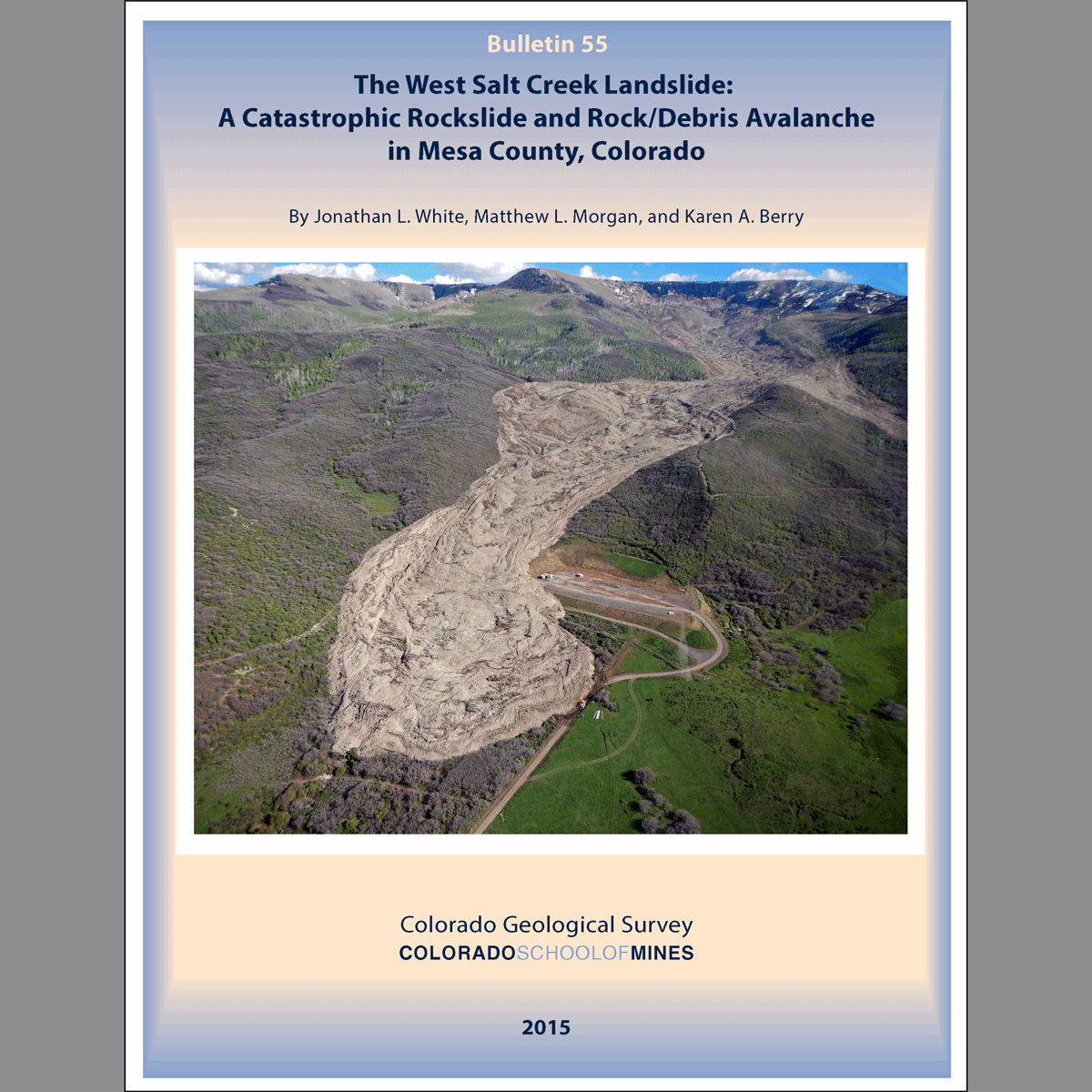
On May 25, 2014 the longest landslide in Colorado’s historical record occurred in west-central Colorado, six miles southeast of the small town of Collbran in Mesa County, taking the lives of three local men. The landslide was 2.8 miles long, covered almost a square mile of the West Salt Creek valley and the net volume displacement was 38 million yd3. The fast-moving (40-85 MPH), high-mobility landslide was caused by an initial rotational slide of a half-mile-wide block of Eocene Green River Formation. The resultant rock failures, rockmass disaggregation, and mostly valley-constrained rock avalanche, dropped approximately 2,100 ft in elevation as a rapid series of cascading surges of chaotic rubble composed of fragments of pulverized rock, vegetation, topsoil, and mud. Local seismometers recorded a magnitude 2.8 earthquake from the event with a seismic wave train duration of approximately three minutes. The toe of the landslide came within 200 ft of active gas-production wellheads and loss of irrigation ditches and water impacted local ranches and residents.
The report covers the regional setting, evidence of past landslide activity, landslide modes of failure, rock avalanche morphology, triggering mechanisms, monitoring, long-term hazard assessment, and land-use recommendations. A geologic map and cross section are also included. Digital PDF download. B-55D
UPDATE: The Association of American State Geologists announced that their annual John C. Frye Memorial Award for 2017 is granted to the CGS and the staff members who authored B-55.
