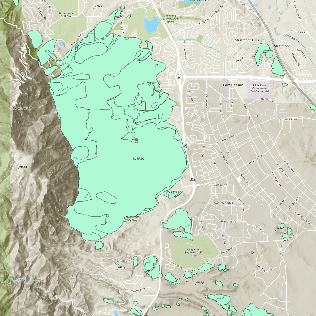
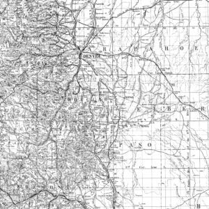
This GIS map contains the most current information for this project. GIS data is currently not available for download. Online resource. ON-006-11M – v20220208
(Note: “Add to cart” does not provide access to the map — use the direct link below.)
To the map: ON-006-11M Landslide Inventory Map of El Paso County, Colorado (Map) – v20220208
2020s,
CGS,
El Paso,
engineering,
environmental,
geologic hazards,
hazards,
land use,
landslide,
map,
ON-,
online,
publication
Lindsey, Kassandra O. “ON-006-11 Landslide Inventory of El Paso County, Colorado - v20220208.” Hazards, Digital. Golden, Colorado: Colorado Geological Survey, February 2022. https://cologeosurvey.maps.arcgis.com/apps/webappviewer/index.html?id=e79ab4c07ca849709c61814c178e5d74.

