Description
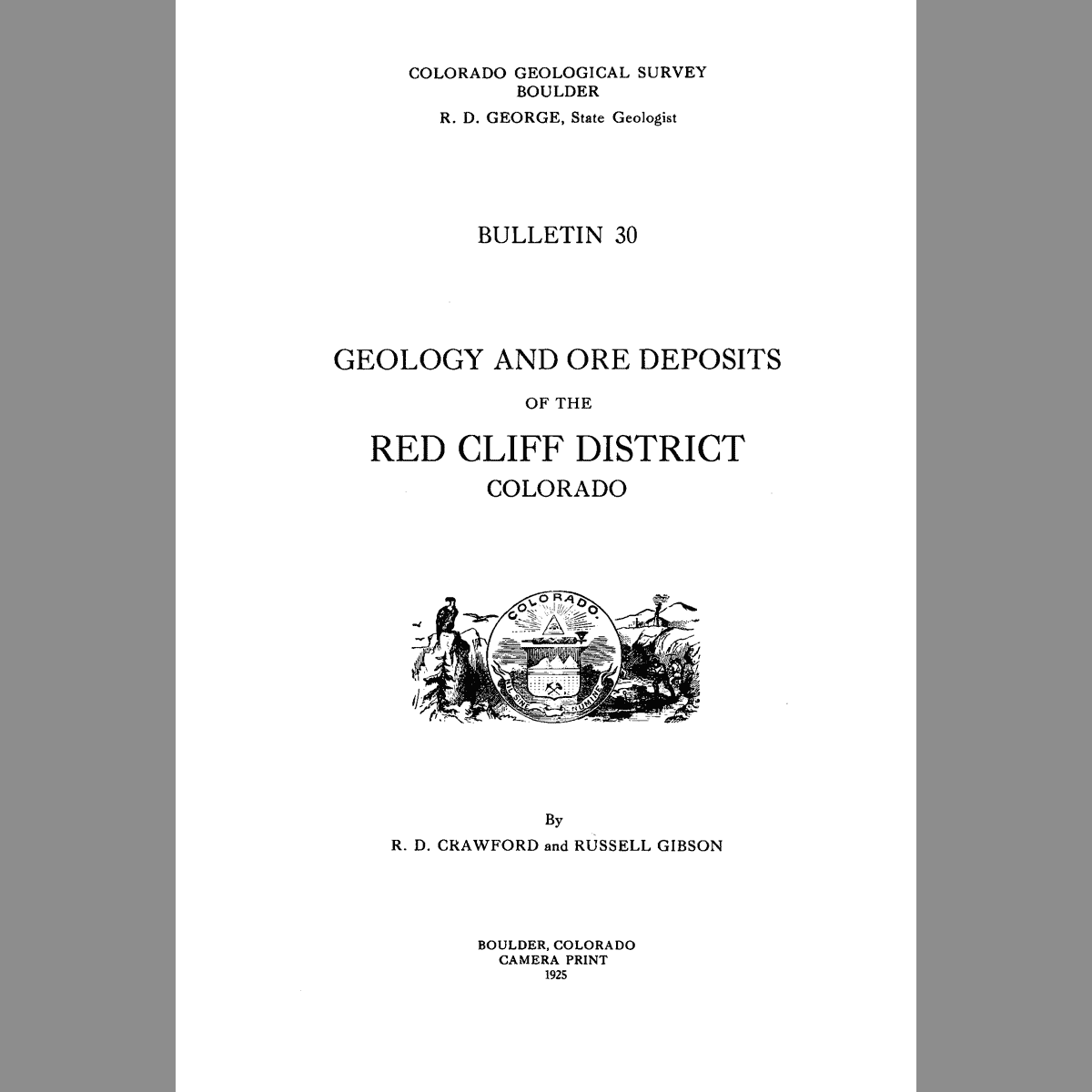
Geology of the Red Cliff district, Park County, Colorado. 95 pages. Digital PDF download. B-30D
From the Introduction:
The Red Cliff district is in a region of steep slopes and deep gulches and canyons. The vertical range within the area mapped is approximately 3,500 feet — from about 8,400 to 11,900 feet above sea level. A few miles southwest is Holy Cross Mountain with an altitude of nearly 14,000 feet. The district is drained by Eagle River and its branches, several of which carry large volumes of water throughout the summer. Homestake Creek, which joins Eagle River below Red Cliff, is longer and probably carries more water than that part of Eagle River above the mouth of Homestake Creek. This creek has an advantage in heading near the top of the Sawatch Range where glacial lakes are numerous and snow is found almost or quite throughout the year. Aside from ordinary stream erosion, factors that have had part in shaping the relief include geologic structure and character of the rocks, glaciation, landslides, and vegetation.
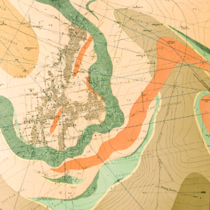
The contemporary understanding of the geology is largely unchanged from this 1925 publication. It is organized into the following sections: Introduction; 1) Physiography; 2) Precambrian metamorphic rocks; 3) Igneous rocks; and 4) Paleozoic sedimentary rocks; 5) Structural geology; 6) Mineral deposits; and 7) Descriptions of mines. Chapter Six describes the mineralogy of the ores and gangue, and the classes or types of deposits in the district. Chapter Seven provides descriptions of the mines and their ore deposits, and provides a few maps of their workings or faults. Included is a history of the mining district and its condition at the time the field work for this study was accomplished — 1921 to 1923 — along a bibliography of pertinent material published between 1875 and 1925.
