Description
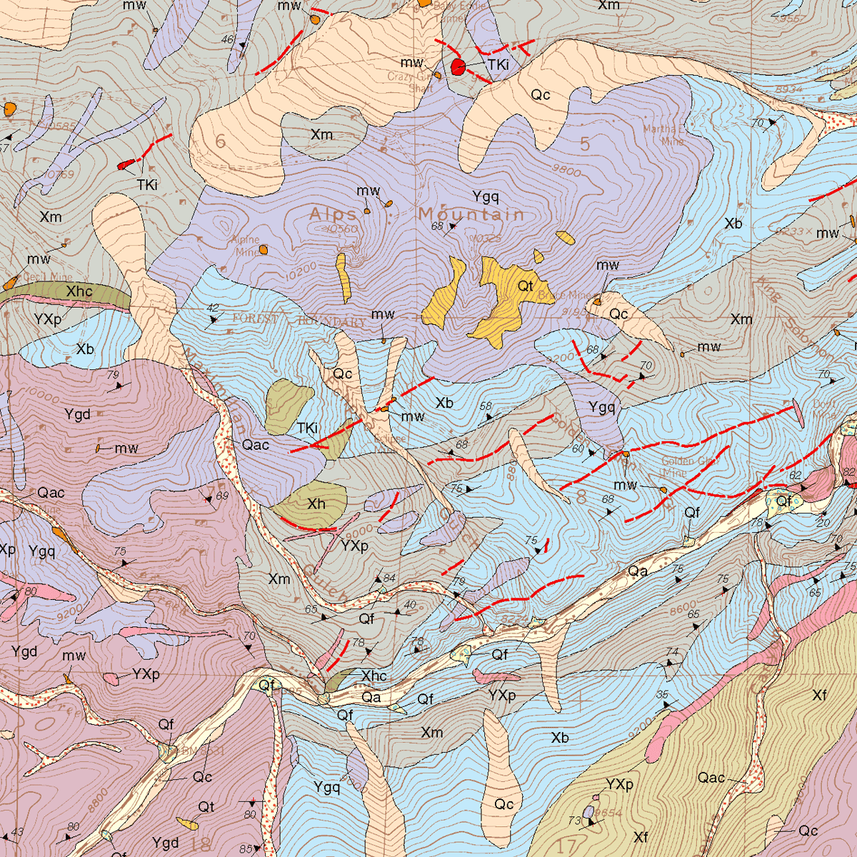
The Idaho Springs Quadrangle is located in Clear Creek County. Includes cross section, map unit correlation, and booklet of extended descriptions of map units, structural geology, economic geology, and selected references. 21 pages. 1 color plate (1:24,000). Digital PDF download. OF-00-02D
From the Introduction:
The Idaho Springs 7.5-minute quadrangle is characterized by rugged terrain ranging in elevation from about 7,500 to 12,600 ft. The town of Idaho Springs lies in the northeast corner of the quadrangle at an elevation of about 7,525 ft. Squaw Pass Road (State Highway 103) extends east-west across the quadrangle at an average elevation of 11,000 ft., and the 14,258-ft-high peak of Mount Evans is just southwest of the southwest corner of the quadrangle.
Most of the quadrangle is underlain by Proterozoic metamorphic and igneous rocks. The oldest are Early Proterozoic metasedimentary and metavolcanic rocks that were originally deposited more than 1,800 Ma and later metamorphosed during a period of intense deformation about 1,726 Ma. This metamorphic complex was subsequently intruded by granitic rocks of the Berthoud plutonic suite (Tweto, 1987) between about 1,448 and 1,420 Ma. During the Laramide orogeny (Late Cretaceous to Paleocene), porphyry dikes and other small intrusive bodies were intruded primarily in the Proterozoic metamorphic complex along foliation planes northwest of Chicago Creek. The ore deposits of Idaho Springs were formed during the later stages of this intrusive event (Paleocene). The youngest deposits in the quadrangle include glacial till of probable Pinedale age and other Quaternary surficial deposits ranging in age from pre-Bull Lake to Recent.

