Description
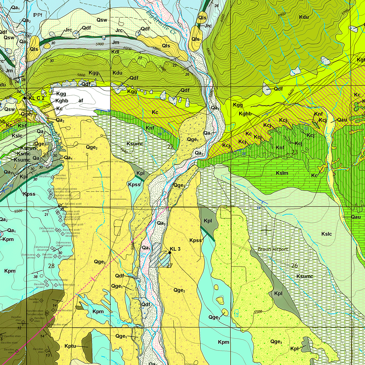
The purpose of this map is to describe the geology, mineral and ground-water resource potential, and geologic hazards of this 7.5-minute quadrangle located east of Cañon City, Colorado. It includes the small town of Florence, Colorado. Includes 2 plates and GIS data in a single zip file. Digital ZIP download. OF-18-04D
From the Geologic Setting:
The Florence quadrangle is located in the northeastern part of the Canon City embayment, a Phanerozoic structural and topographic low at the junction of the Wet Mountains and the Front Range of the Rocky Mountains. High-angle faulting and subsequent erosion in these mountain ranges have exposed Precambrian rocks described by Tweto as a gneissic complex dated at 1,600 to 1,800 Ma that has been subjected to several episodes of folding.
Early Paleozoic sedimentary rocks were deposited in a shallow marine shelf environment beginning with the Manitou Limestone followed by the Harding and Fremont Formations, each were unconformably succeeded by the other. Cambrian strata were probably present but eroded away prior to deposition of overlying strata. Sedimentation also occurred during the Devonian and Mississippian periods but was eroded during the Late Pennsylvanian coinciding with the uplift of the Ancestral Rocky Mountains. These uplifts were extensive throughout the south central, central, and north central parts of Colorado. These uplifts are fault-bounded blocks with crystalline basement cores. The uplifted rocks were eroded and the resulting coarse detritus was transported by rivers and smaller streams and was deposited along the mountain flanks as thick alluvial-fan deposits that after diagenesis, compaction, and lithifaction became rocks of the Fountain Formation.
