Description
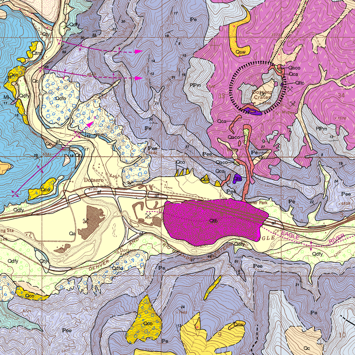
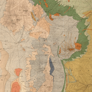
The purpose of Colorado Geological Survey Open File Report 08-14, Geologic Map of the Dotsero Quadrangle, Eagle and Garfield Counties, Colorado is to describe the geologic setting, mineral and ground-water resources, and geologic hazards of this 7.5-minute quadrangle located in west-central Colorado at the head of Glenwood Canyon. This map was originally published in black and white as OF-97-02. Digital ZIP/PDF download. OF-08-14D
From the Author’s Notes:
Scoriaceous lapilli tuff (Qltu) mined from thick, unconsolidated deposits in the vicinity of Dotsero Crater is mixed with other lightweight fillers and cement to produce cinder blocks by the Mayne Block Company in Dotsero. This scoriaceous material is also marketed as landscaping aggregate, road cinders, and as other lightweight construction products.
In 1995 Eagle Gypsum Company produced 400,000 tons of gypsum from an open pit developed in the Eagle Valley Evaporite at their Eagle Gypsum Mine, located 2.5 miles east of the quadrangle. The gypsum was manufactured into wallboard and other products at a calcining and production facility located in the town of Gypsum. Similar gypsum resources may exist in Dotsero quadrangle. Other potential mineral resources in the quadrangle include high-grade limestone, sand, gravel, and crushed rock.
