Description
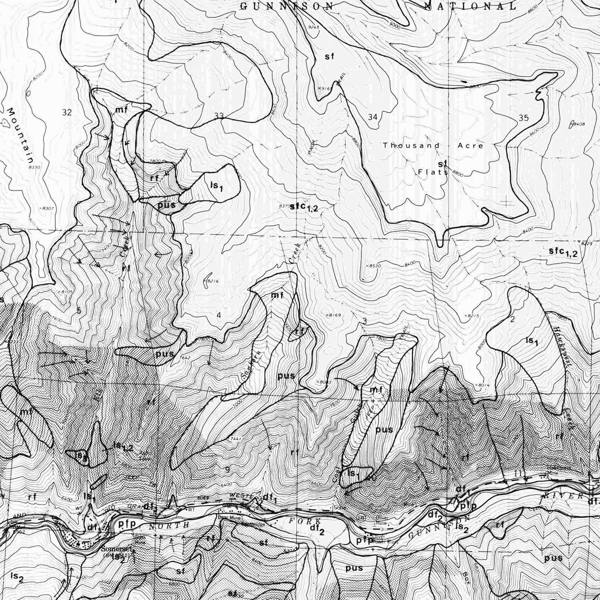
In 1978, it was believed that the valley along the North Fork Gunnison River from Hotchkiss to Paonia Reservoir would be likely to experience rapid population growth associated with coal mining activities. This study of geologic conditions was conducted to aid planning.
Plates 1 thru 7 (1:24,000) include geological hazard maps for six quadrangles: Gray Reservoir (Plate 1), Bowie (Plate 2), Somerset (Plate 3), Paonia Reservoir (Plate 4), Hotchkiss (Plate 5), and Paonia (Plate 6). Plate 7 is an explanation of map units. Digital PDF download. OF-78-12D
