Description
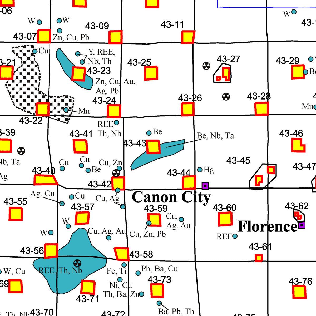
This evaluation of the mineral and mineral fuel resource potential was conducted for the nearly 63,500 acres of state mineral lands within Fremont County in south-central Colorado. It was part of a long-term CGS evaluation of approximately four million acres of state lands administered by the State Land Board. For evaluation purposes, the county was divided into 79 individual tracts that range from approximately 160 acres to 8,895 acres.
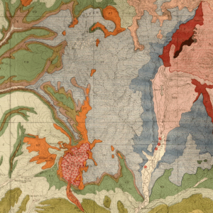
The report includes an introduction to the geology and mineral resources of the county along with an index map of tract locations, maps of metallic mineral prospects, industrial mineral prospects, oil and gas test wells and oil field locations, and coal resources. The main body of the report which includes a tract summary and a commodity rating system, is an evaluation of each individual tract, which includes text as well as a topographic map and a geologic map. Digital ZIP/PDF download. OF-00-05D
Four general categories of resources are included in this inventory:
- oil and gas
- coal
- metallic minerals
- industrial minerals and construction materials
Each individual tract evaluation includes:
- A bar graph which ranks each tract’s resource potential for each of the four mineral categories. An explanation of the categories may be found at the end of this introduction
- Tract identifier number, county name, and county location map
- Tract location on a 7-1/2-minute United States Geologic Survey topographic map
- Tract location on a United States Geologic Survey surface outcrop map
- Location as to section, township, and range and approximate acreage
- Overview of tract geology
- Specific assessment of the resource potential for the four resource categories
- References used in assessing tract potential
The county produces oil and gas from three oil fields, coal, and a variety of industrial minerals and construction materials. In the past the county has also produced metals. Uranium, copper, lead, zinc, tungsten, beryllium, manganese, iron, titanium, rare earths, and the precious metals gold and silver have all been mined. Other than uranium, however, the county has not been a major metal producer. Metal mines and district include: Tallahassee Creek district, Copper Gulch (Grape Creek) district, Cotopaxi Mine, Red Gulch copper-silver district, thorium in the McKinley Mountain Area, Iron Mountain, Wellsville Manganese Deposit, Whitehorn gold district, Isabel Mine, and Copperhead Mine. Fremont County is a leading producer of industrial minerals and construction materials in the state.
From the Introduction:
Fremont County is located in south central Colorado and has common borders with seven other counties; Park, Teller, El Paso, Pueblo, Custer, Saguache, and Chaffee. The county has a land area of 1,562 square miles. A total of 79 state land tracts have been evaluated for this report. Some of the tracts are composed of more than one individual land parcels. All have mineral rights owned by the State of Colorado. These land tracts have a combined acreage of approximately 63,000 acres, or 6.3 percent of the total county area. Canon City is the largest city within Fremont County with a 1998 population 15,239. Other Fremont County cities and towns include Florence, Penrose, Parkdale, Wellsville and Cotopaxi. The total population of the county was 43,904 in 1998.
Surface topography is extremely rugged throughout 80 percent of this county. Surface elevations range from the summit of Bushnell Peak at 13,105 ft, on the crest of the Sangre de Cristo Mountains on the western edge of the county (T. 47 N., R. 10 E.), to 4,950 ft where the Arkansas River crosses the Fremont County–Pueblo County line on the east. The gentle topography of Eastern Colorado’s Great Plains comprise the eastern 20 percent of the county over an area known geologically as the Canon City Embayment.
The Arkansas River enters Fremont county three miles southeast of the town of Salida, Colorado. The Fremont County segment of this major river is approximately 50 miles in length. First cutting a topographically rugged west to east valley through the Precambrian terrain of the Wet Mountains before carving out a much gentler topographic land form when flowing east across the Paleozoic and Mesozoic sediments of the Canon City Embayment. The river has cut 1,200 ft into Precambrian rocks (one of the deepest canyons in Colorado) just west of Canyon City at the well-known Royal Gorge.
