Description
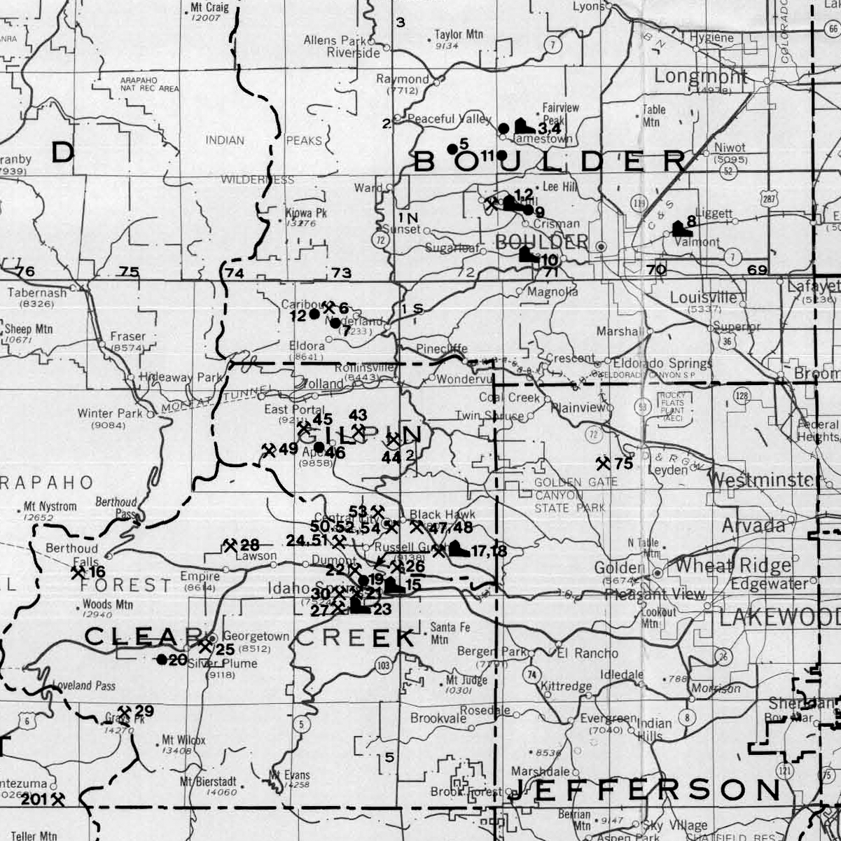
Colorado metal mining activity map with directory, 1989. Shown on the map are different types of symbols with corresponding numbers. The symbols distinguish between mines that are active or are on standby and ore processing/concentration facilities. On the map is a directory that is organized such that mines/mills are listed alphabetically by county and numerically by map number. This directory provides the mine/mill name, operator, contact information, location by township and range, mine type, status, commodity, and average number of employees. Also provided is a separate alphabetical listing of mines/mills. The information on this map is current as of October 1, 1988. 1 Plate (1:500,000). Digital PDF download. MS-25D
This map is a five-year update of the prior Map Series MS-24 Metal Mining Activity Map of Colorado and Directory, 1984.
