Description
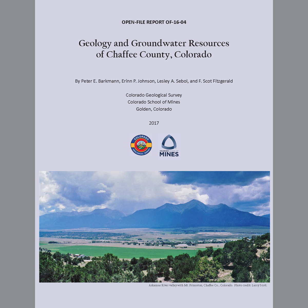
This report provides a regional overview with the general public in mind: it also contains detailed background that will benefit more technical users. This project was funded by a grant from the Colorado Water Conservation Board (CWCB) matched by the CGS through its Severance Tax and Colorado General Operational Funds. Digital PDF/GIS/ZIP download. OF-16-04D
An online map — ON-OF-16-04 Geology and Groundwater Resources of Chaffee County, Colorado — is also available.
Report Documents
- OF-16-04_Read_Me.pdf
- OF-16-04_Geology_and_Groundwater_Resources_Chaffee_County.pdf
Includes report with text, tables, figures, and appendices
Geologic map plates:
- OF-16-04_Plt-01_ChaffeeCo_General_Geology.pdf
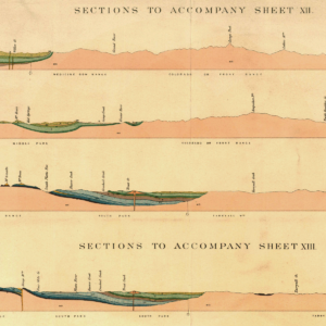
- OF-16-04_Plt-02_ChaffeeCo_Cross_Section.pdf
- OF-16-04_Plt-03_ChaffeeCo_Precambrian.pdf
- OF-16-04_Plt-04_ChaffeeCo_Cret-Tert_Igneous.pdf
- OF-16-04_Plt-05_ChaffeeCo_Older_Paleozoics.pdf
- OF-16-04_Plt-06_ChaffeeCo_Penn-Perm.pdf
- OF-16-04_Plt-07_ChaffeeCo_Dry_Union.pdf
- OF-16-04_Plt-08_ChaffeeCo_Quaternary.pdf
- OF-16-04_Plt-09_ChaffeeCo_Bedrock_Elevation.pdf
Water quality and type map plates:
- OF-16-04_Plt-10_ChaffeeCo_Temperatures.pdf
- OF-16-04_Plt-11_ChaffeeCo_Stiff_All.pdf
- OF-16-04_Plt-12_ChaffeeCo_Pie_All.pdf
- OF-16-04_Plt-13_ChaffeeCo_Pie_Precambrian.pdf
- OF-16-04_Plt-14_ChaffeeCo_Pie_Tert-Cret_Igneous.pdf
- OF-16-04_Plt-15_ChaffeeCo_Pie_Dry_Union.pdf
- OF-16-04_Plt-16_ChaffeeCo_Pie_Quaternary.pdf
GIS Data folder
Contains OF-16-04_ChaffeeCo.mpk map-package file
From the Introduction:
Chaffee County, located in the central portion of the Rocky Mountains, has experienced considerable population growth in recent decades with development becoming increasingly reliant on local groundwater resources. This product compiles the most recent geologic mapping and interpretations, focusing on groundwater occurrences in the various geologic formations found in the area. Chaffee County straddles two contrasting geologic terrains: mountain ranges surrounding a central valley. The Arkansas River flows to the south through a deep, structurally-controlled valley that is part of the Rio Grande rift system. The valley is flanked by the Sawatch Range on the west, the Mosquito Range on the east, and the Sangre de Cristo Range on the southern end. As part of the southern Mosquito Range, the Arkansas Hills trend east on the north side of the Arkansas River.
Based on differences in hydrologic properties, hydrogeologic units in Chaffee County can be grouped into three general categories: 1) crystalline-rock aquifers, 2) sedimentary bedrock aquifers and confining units, and 3) unconsolidated Quaternary deposits. The crystalline-rock aquifers are subdivided into Precambrian igneous and metamorphic bedrock and the Cretaceous-Tertiary igneous rocks. The sedimentary bedrock aquifers and confining units consist of the older Paleozoic formations, Pennsylvanian-Permian formations, the Dry Union Formation and other Tertiary sediments. The unconsolidated Quaternary deposits consist of the alluvial aquifer, terrace alluvium, glacial deposits, and other Quaternary deposits that include colluvium, sheetwash, and landslide deposits.
There were 3,355 completed water wells in the Colorado Division of Water Resources database, inventoried in Chaffee County as of February 9, 2016. Permitted uses include: domestic or household use only, commercial, industrial, municipal, livestock, irrigation, monitoring, geothermal, and other (unspecified). Wells and springs were assigned a hydrogeologic unit. Due to various sources of uncertainty, hydrogeologic unit designations were assigned a confidence level value of 1, 2, or 3, with 3 representing the least confidence. The majority of wells in Chaffee County are located in the Arkansas River valley where they tap either the unconsolidated Quaternary deposits or the Tertiary Dry Union Formation.
Chaffee County has a higher than average geothermal gradient (heat flow). Fault patterns bounding the northern Rio Grande rift create conduits for deep groundwater flow systems which tap the greater heat flow; as a result, hot springs and some hot wells are common in the area.
A Chaffee County groundwater quality database was compiled from publicly available databases and reports. The primary electronic data source was the Water Quality Portal (WQP) from the National Water Quality Monitoring Council. Groundwater data was also manually compiled from other publicly available publications not in the WQP. A total of 130 wells and 36 springs had groundwater quality data through 2016. A limited number of sample locations have data from multiple sampling events at the same well or spring. Data analysis for these locations used the maximum value detected, unless it was identified as an anomalous outlier. Where feasible, dissolved water quality data was used preferentially over total data.
