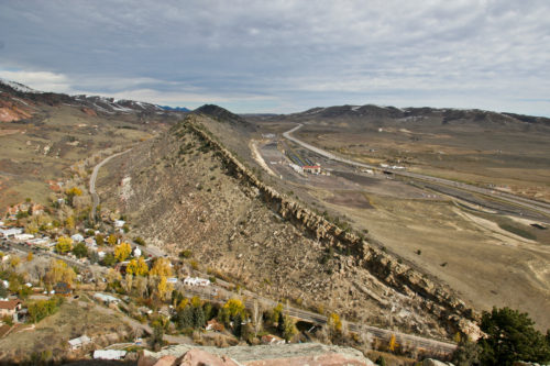
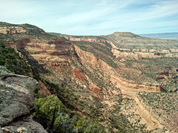
A fault is a break in Earth’s crust where the blocks of rock overcome friction to move past each other in opposite directions. This movement can generate earthquakes if it occurs rapidly, or it can occur slowly as fault creep. The amount of movement is called the “fault displacement,” or the distance that rocks have moved on either side of the fault. Faults range in length from a few millimeters to hundreds of miles, and their corresponding fault displacements can also vary in size. Faults can be oriented vertically, horizontally, or some angle in between.
Because fault movement causes earthquakes, it is important to study the thousands of faults in Colorado to determine whether they have moved in the recent geologic past and whether they are capable of moving again in the near future. Paleoseismic studies help with this understanding. Faults have broken geologically young deposits (Quaternary period, 2.6 million to 11.7 thousand years ago) in many basins in Colorado. According to a recent inventory by CGS staff, there are at least 90 faults in Colorado that moved during the Quaternary Period and can be considered active.
Three faults in Colorado have received sufficient study to be included in the USGS National Seismic (Earthquake) Hazard Map, and are listed as being capable of generating earthquakes of 7.0 magnitude, or greater. There are many more faults in the state that could probably generate significant earthquakes, but have not received sufficient study, or documentation, to be included in the hazard map. With our current state of knowledge, it is not possible to predict when or where, the next large earthquake might occur in Colorado.
Types of Faults
Faults are classified based on the relative movement of each side of the fault with respect to the other side. Geologists use the angle of the fault with respect to the surface (known as the dip) and the direction of slip along the fault to classify faults. “Dip-slip” faults are those where the rocks move vertically along the fault along the dip plane, with the rocks on “top/hanging wall” of the fault moving downward (“normal fault”) or upward (“thrust fault”) relative to the rocks on the “bottom/footwall” of the fault. “Strike-slip” faults are those where the motion is primarily horizontal along a fault, with rocks moving to the right (right-lateral) or left (left-lateral) with respect to rocks on the either side of the fault. A well-known example of a strike-slip fault is the San Andreas fault in California, which is a right-lateral fault.
In normal faults, the hanging wall moves down relative to the footwall. The Sangre de Cristo fault in the San Luis Valley is a normal fault with nearly four miles of displacement occurring over millions of years. In a reverse or thrust fault, the hanging wall moves up relative to the footwall. A thrust fault, such as the Williams Range fault bounding the west side of the Front Range, is a special case of a reverse fault where the dip of the fault plane is thirty degrees or less.
Studying Past Earthquakes
Because the interval between large earthquakes on any given fault is often in the neighborhood of hundreds or even thousands of years, it is necessary to study when large earthquakes have occurred on the faults in the past to better understand their potential future behavior. These studies of faults fall under the category of paleoseismicity, or the study of past earthquakes.
CGS scientists can often determine when a fault last moved, and estimate the magnitude of the earthquake that produced the last movement, by studying the geologic characteristics of faults. In some cases, it is possible to evaluate how frequently large earthquakes occurred on a specific fault during the recent geological past. This information is critical to understanding the earthquake hazard for each fault.


