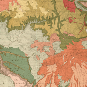
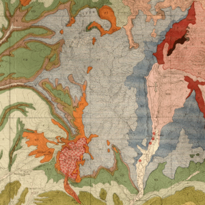
Description
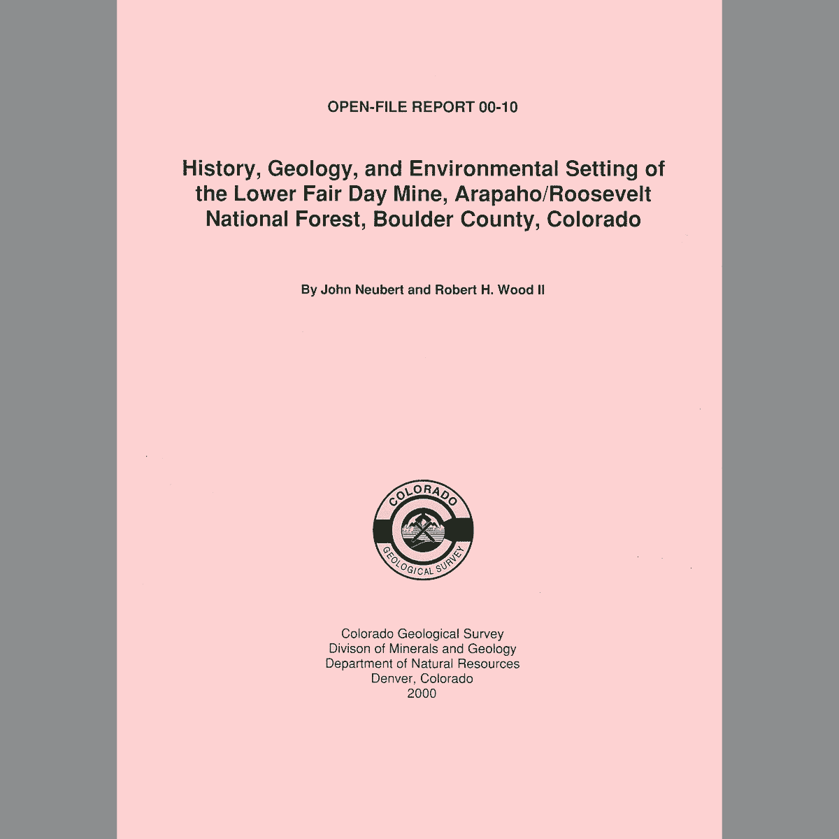
Describes the history, geology, and environmental setting of the Fair Day uranium mine located on Forest Service-administered land on the south side of Overland Mountain and north of James Creek, in Boulder County. Includes: abbreviations and symbols, introduction, site location, mining history, geology, site description, waste and hazard characteristics, migration pathways, conclusions, appendices, and references. 3 figures. 3 tables. 36 pages. Digital PDF download. OF-00-10D
The Fair Day Mine encompasses at least two underground workings. Ore consisted of uranium with some vanadium in sulfide containing veins. The older mine is high on the south slope of Overland Mountain and was not considered an environmental problem. However, a lower adit, about 350 feet below the original inclined shaft, had water discharge that ultimately entered an unnamed tributary of James Creek. The sampled mine effluent significantly exceeded standards in thallium, aluminum, cadmium, copper, and zinc concentrations. However, no influence from the impacted unnamed tributary was seen in the much higher flowing James Creek. The waste-rock pile was determined to be radioactive and moderately mineralized. This publication provides useful data for future water quality investigations or restoration.
