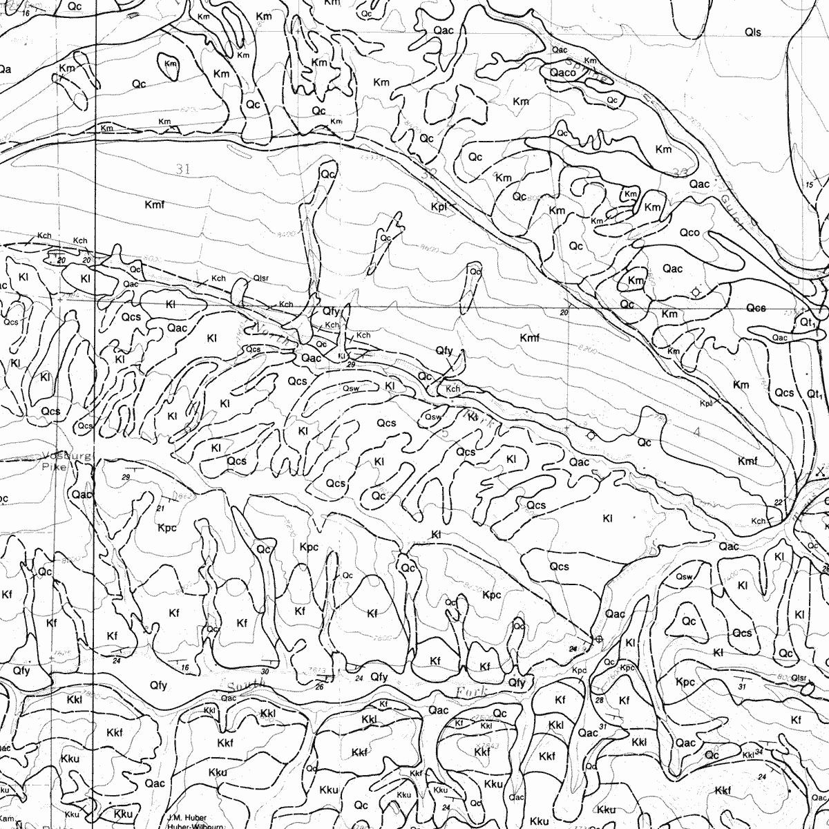
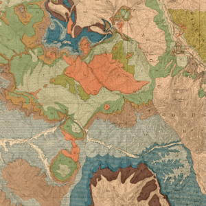
Includes cross section, booklet of extended descriptions of map units, economic geology, and references of the Rules Hill Quadrangle, La Plata County. 12 pages. 1 plate (1:24,000). Superseded by OF-14-11. Digital PDF Download. OF-97-01D
From the Author’s Notes:
Geologic mapping of the 7.5-minute Rules Hill quadrangle was undertaken by the CGS as part of the National Cooperative Geologic Mapping Act-STATEMAP component program. The Rules Hill quadrangle was selected as the first quadrangle to be mapped in the Durango area because of the rapid population growth, geologic hazards such as methane seepage and natural gas resources found within it.
1990s,
Dakota,
data,
digital,
DOI,
download,
Entrada,
free,
geologic,
La Plata,
Mancos,
map,
Mesaverde,
methane,
Morrison,
OF-,
pdf,
publication,
quadrangle,
San Juan Basin,
San Juan Mtns,
sandstone,
sedimentary,
shale,
Statemap,
Western Slope,
x-section
Carroll, Christopher J., Robert M. Kirkham, and Andrew Wracher. “OF-97-01 Geologic Map of the Rules Hill Quadrangle, La Plata County, Colorado.” Geologic, 1:24,000. Open File Report. Denver, CO: Colorado Geological Survey, Division of Minerals and Geology, Department of Natural Resources, 1997. https://doi.org/10.58783/cgs.of9701.wsyj9949. CGS Publications. https://coloradogeologicalsurvey.org/publications/geologic-map-rules-hill-quadrangle-la-plata-colorado-2/.
