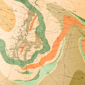
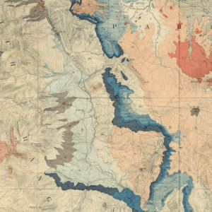
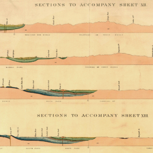
Description
The Salida East Quadrangle, Chaffee and Fremont Counties, Colorado is located in the southern Mosquito Range in an area containing gold, base metal, industrial mineral, and construction material occurrences. Includes Cleora tungsten district and parts of current gold district. Includes cross sections and booklet of extended descriptions of map units, previous studies, geologic setting, structure, mineral resources, industrial mineral occurrences, and references. 27 pages. 1 plate (1:24,000). Digital PDF download. OF-97-06D
From the Author’s Notes:
The Salida East quadrangle is located in southeastern Chaffee County and western Fremont County in the southern end of the Mosquito Range. This quadrangle includes the eastern part of the City of Salida and the upland terrane north of Salida.
The oldest rocks in the quadrangle are Proterozoic metamorphic and igneous rocks overlain unconformably by Paleozoic sedimentary rocks, Tertiary volcanic and sedimentary rocks, and Quaternary glaciofluvial and stream deposits. The Late Cretaceous Whitehorn Granodiorite intruded Paleozoic sedimentary units. Steep faults offset Proterozoic and Paleozoic rocks and some Paleozoic rocks are overturned, but Late Cretaceous plutonic rocks and Tertiary volcanic and sedimentary rocks are cut by few faults. Tertiary volcanic rocks are composed mainly of silicic welded tuffs and air-fall tuffs, but north of Salida andesitic and basaltic Tertiary lahar breccia, flow breccia, and dense flows occur locally. Tertiary sedimentary rocks post-date volcanic rocks and dip toward the south and southwest; faults border the Arkansas River Valley and separate Tertiary sedimentary rocks from older rocks. Tertiary units are truncated by Pleistocene outwash deposits, the oldest of which form terraces high above recent alluvium in the Arkansas River Valley.