Description
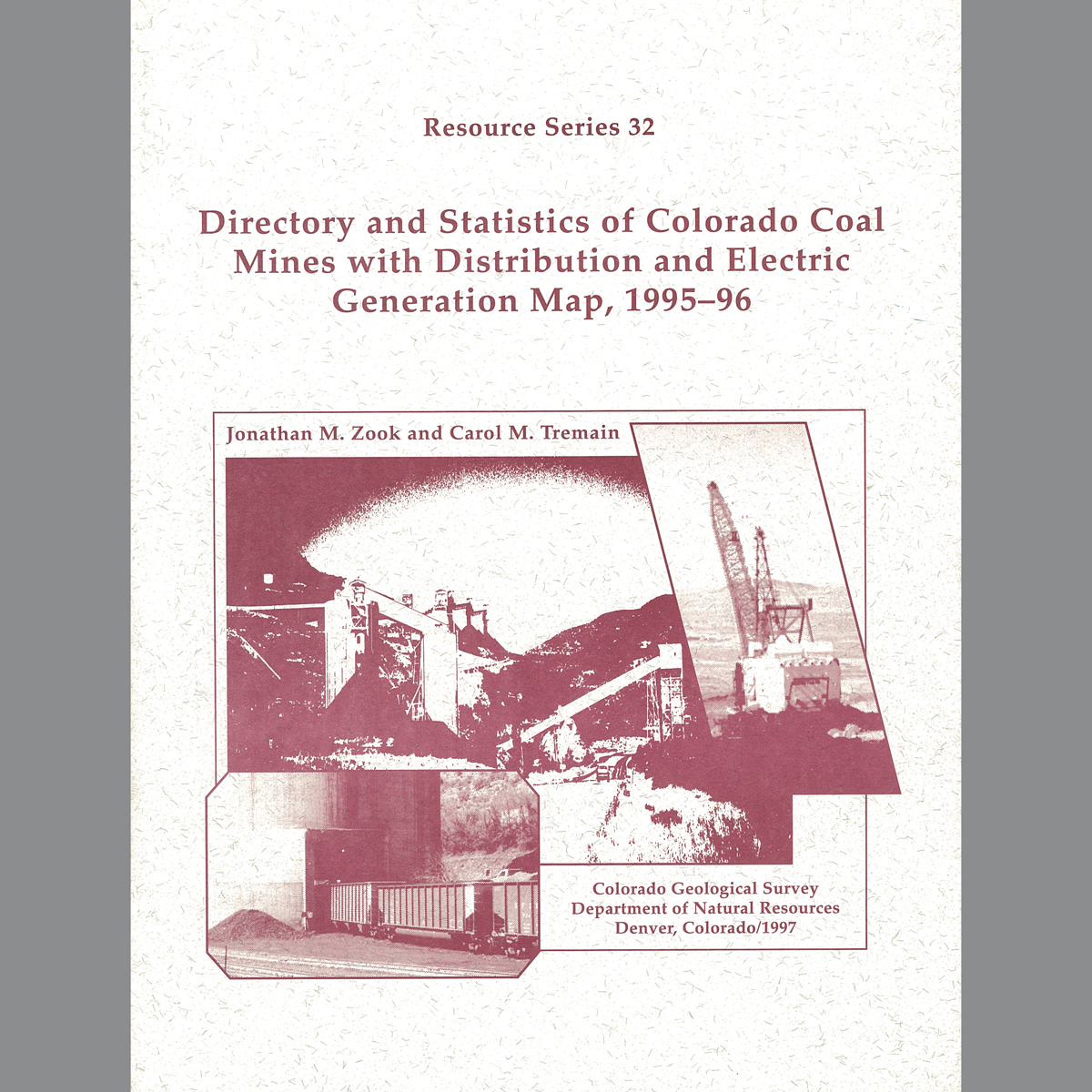
Directory includes 1995 mine locations; company, general, and geologic information; coal quality and production; sales data; and topographic index maps. Plate includes statistics on mines, industrial coal consumption, steam electric generation, hydroelectric power generation; mines; power plants; fields; railroads; and amount and direction of coal movement. 55 pages. 18 figures. 1 plate (1:1,000,000). Digital PDF download. RS-32D
From the Preface:
This directory is an update and revision of Resource Series 29 published in 1990. The purpose of the publication is to provide insight into the Colorado coal industry. The directory includes geologic, production and location data on coal mines that were operating in 1996 and two planned mines in the permitting stage. The map contains coal production, distribution, and electric generation information for 1995.
Data were compiled from previous CGS publications and the following sources:
• Office of Surface Mining, U.S. Department of the Interior
• Division of Minerals & Geology, Colorado Department of Natural Resources
• State Board of Land Commissioners, Colorado Department of Natural Resources
• 1997 Keystone Coal Industry Manual III
• Colorado Public Utilities Commission
• Department of Energy/Energy Information Administration, U.S. Department of the Interior
Additional information was obtained by contacting individual coal mine and power plant operators via mail, telephone and fax. The accompanying map locates mines and lists them by county and coal mine name.
